Death Valley National Park PT. 1

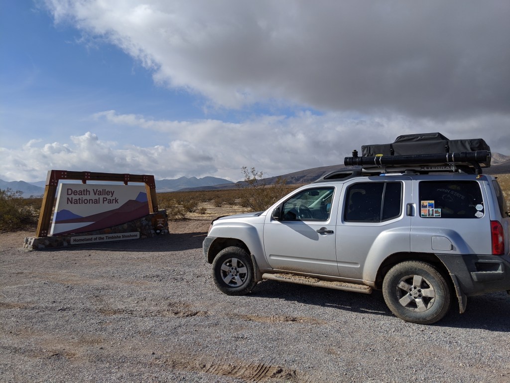
We stayed in Death Valley for 4 days. A lot happened during that time so I’ve decided to split them up into 2 posts.

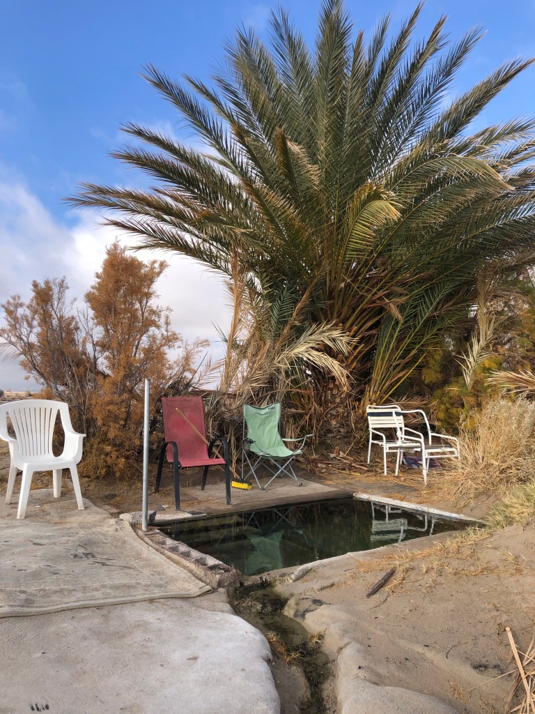
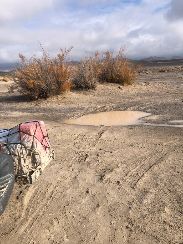
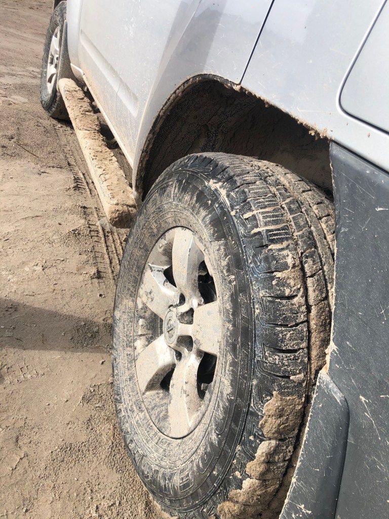
We stayed by a natural warm spring on our first night in Death Valley. It was quite muddy to get to the spot as it had rained the day before. Yogi got pretty dirty.

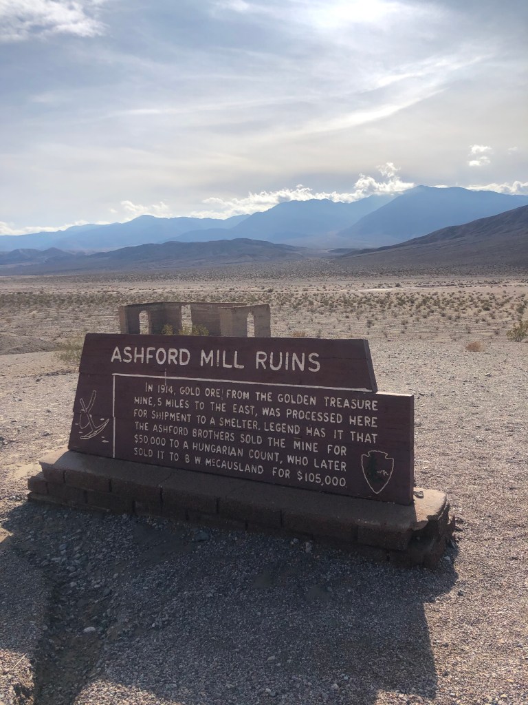
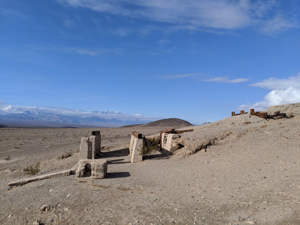
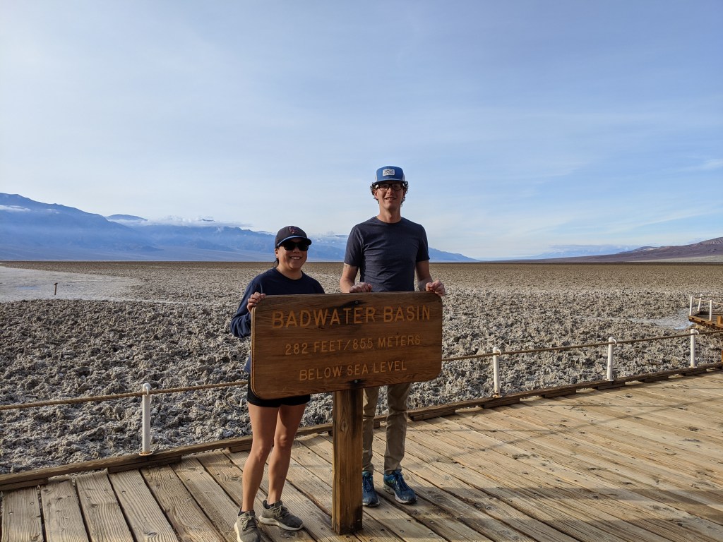
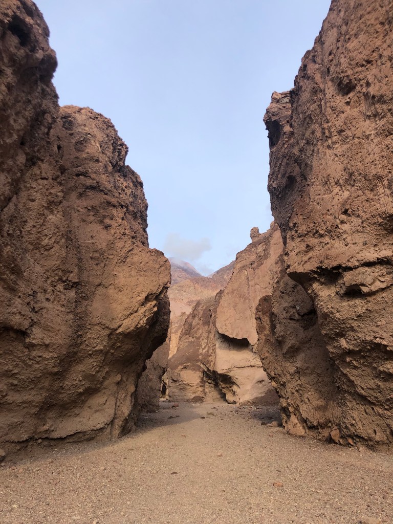
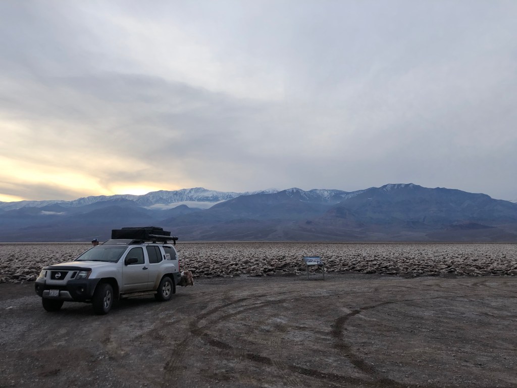
We drove into the park the next day. We stopped at the Ashford Mill Ruins, Badwater Basin Salt Flats, Natural Bridge Trail and Devil’s Golf Course.

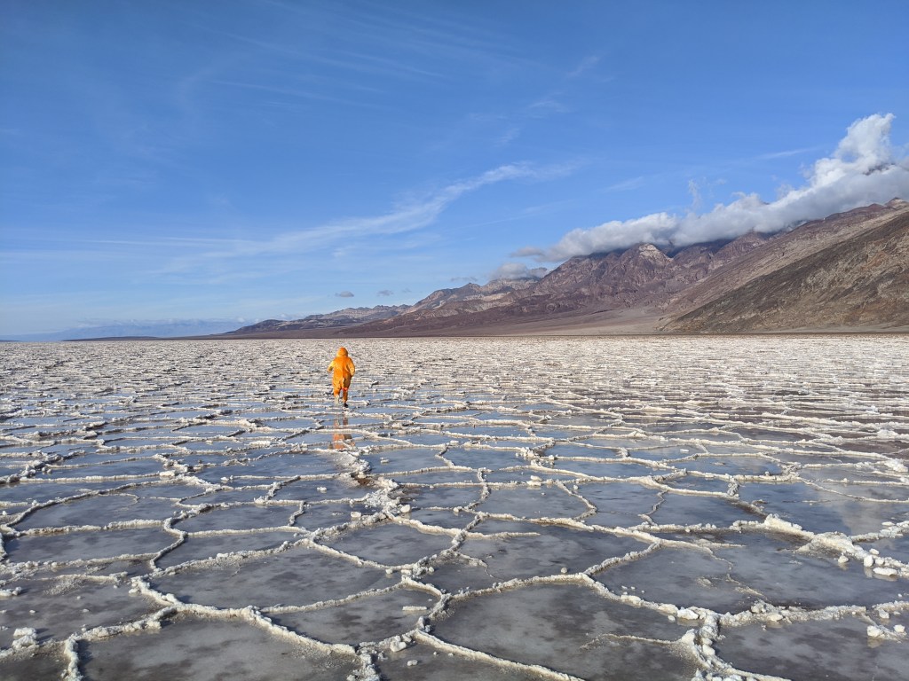
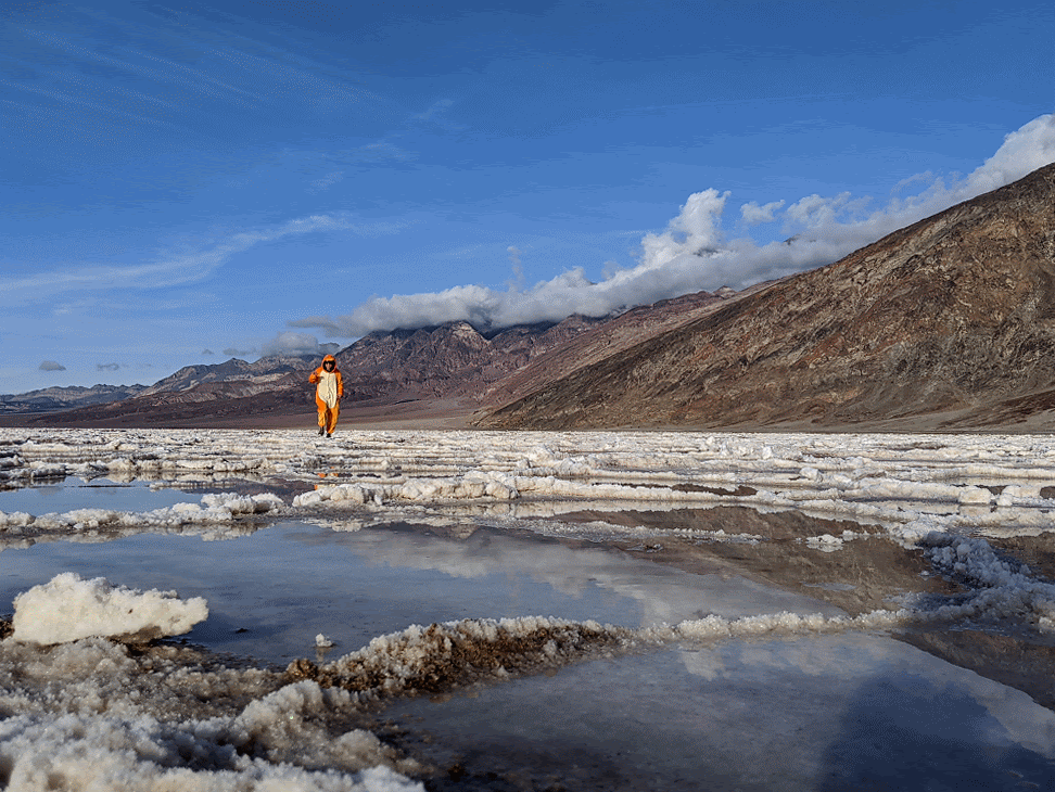
I decided to have some fun on the salt flats and dressed up in my Charmander onesie for some silly photos.

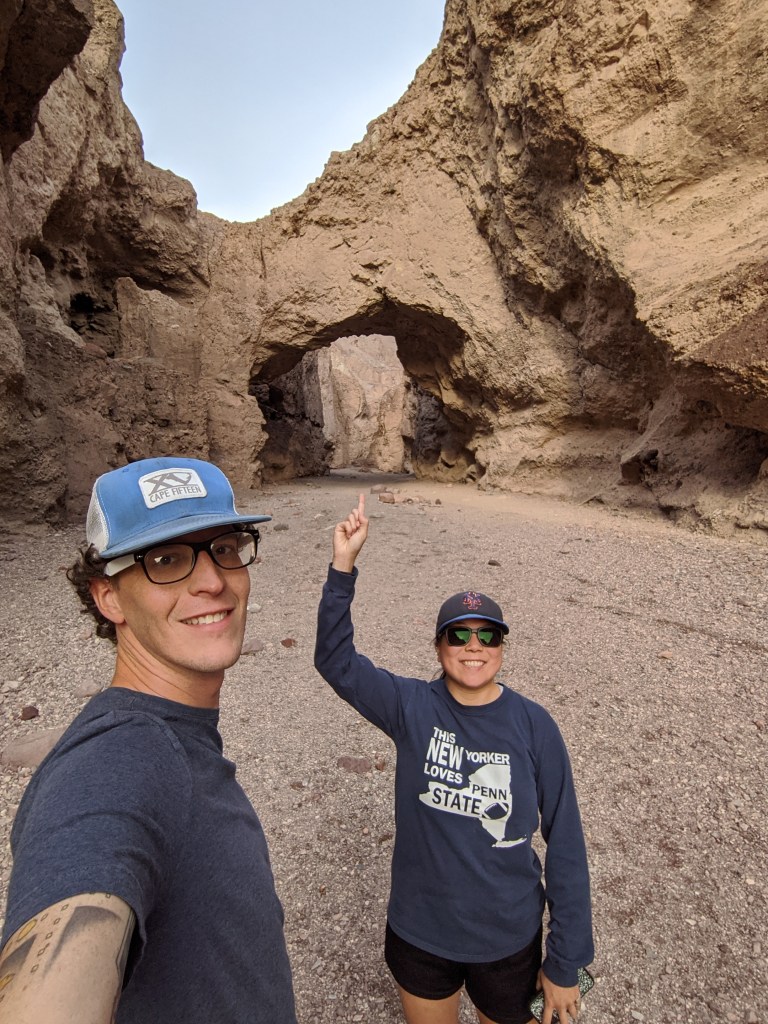
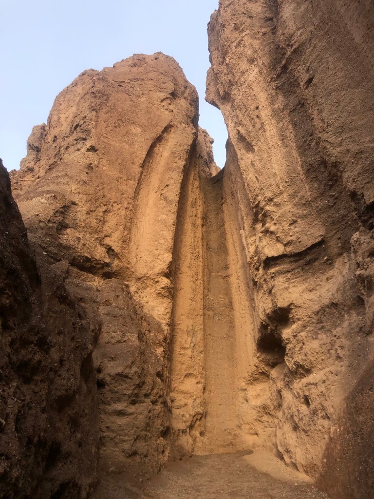
After walking around the salt flats we did a short hike to the natural bridge and dry waterfall. We stopped at the end of a trail because of a 12 foot wall that neither of us could climb over.

We drove to the Devil’s Golf Course given the name because the salt accumulation there are the size of golf balls. Things got a bit muddy there from the rain the previous day.

We stopped by the Furnace Creek Visitors Center on the way to our camp site that night as we needed to get a map to plan out the rest of our days. We got to the visitors center about 5 minutes before closing and I had to run in and back out to the car to grab our park pass to get a map. After I got the map, we realized they had newspapers outside of the visitors center that had the map and hiking guides inside of it. Fail #1.

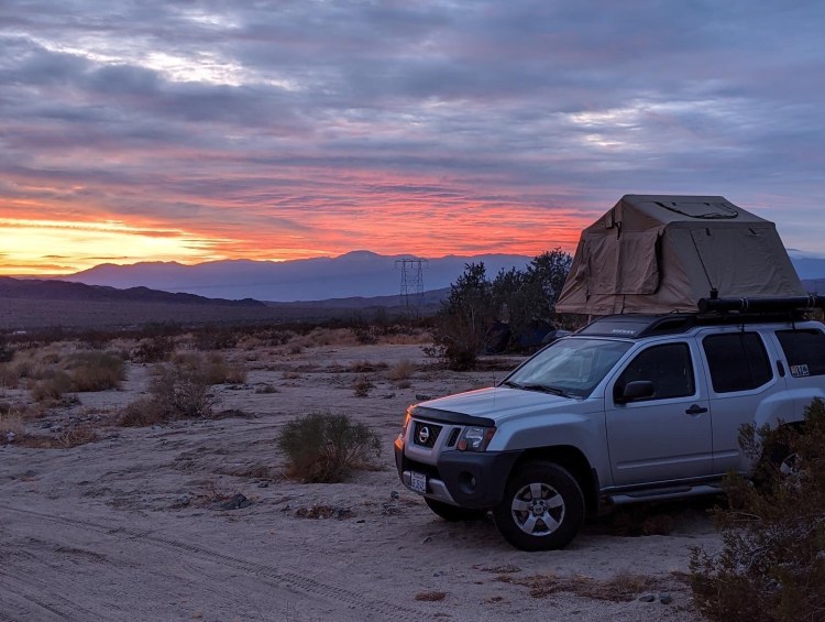
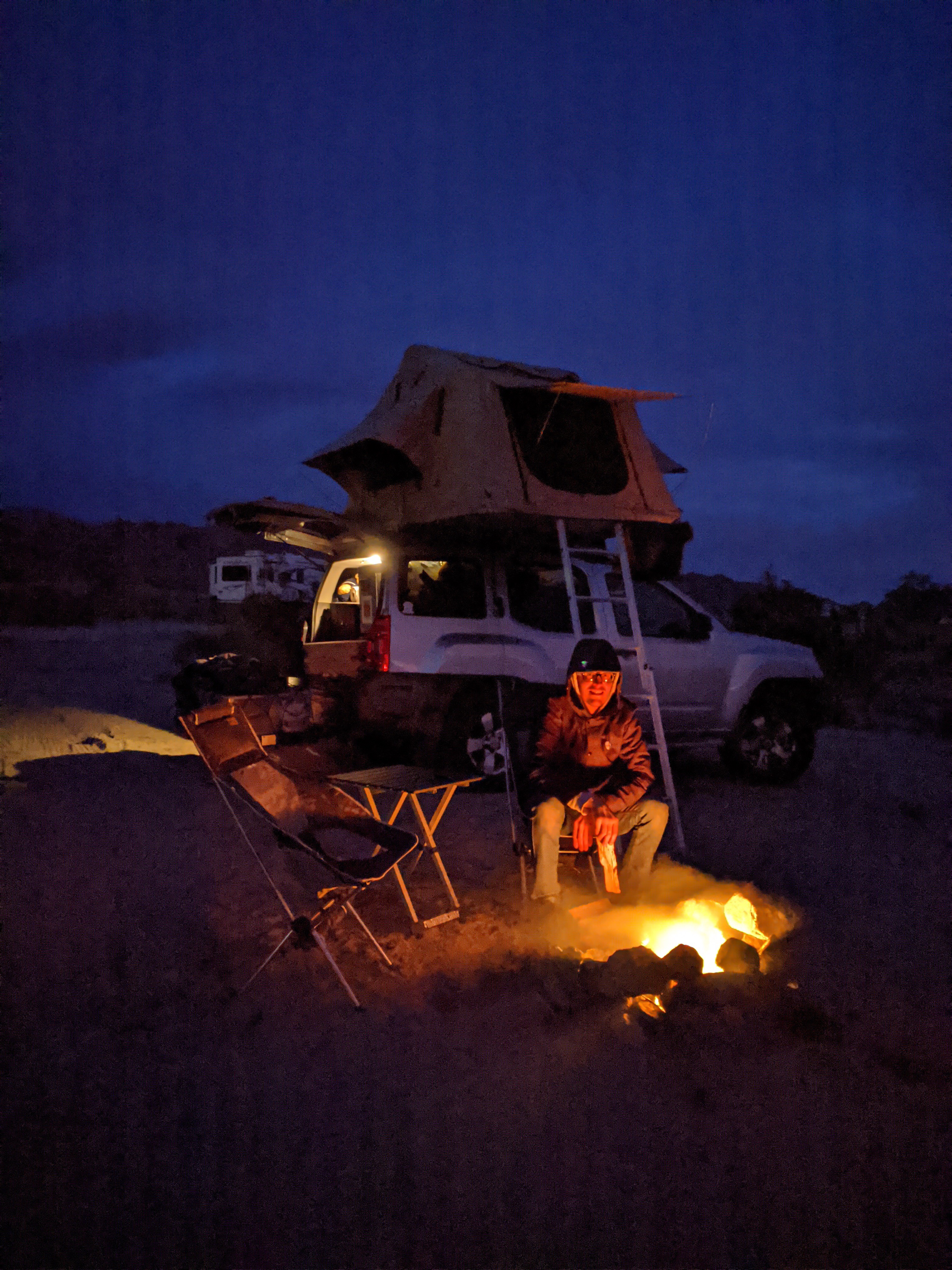
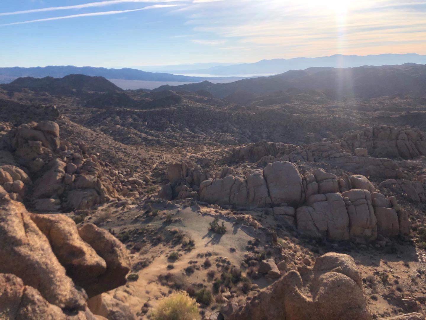
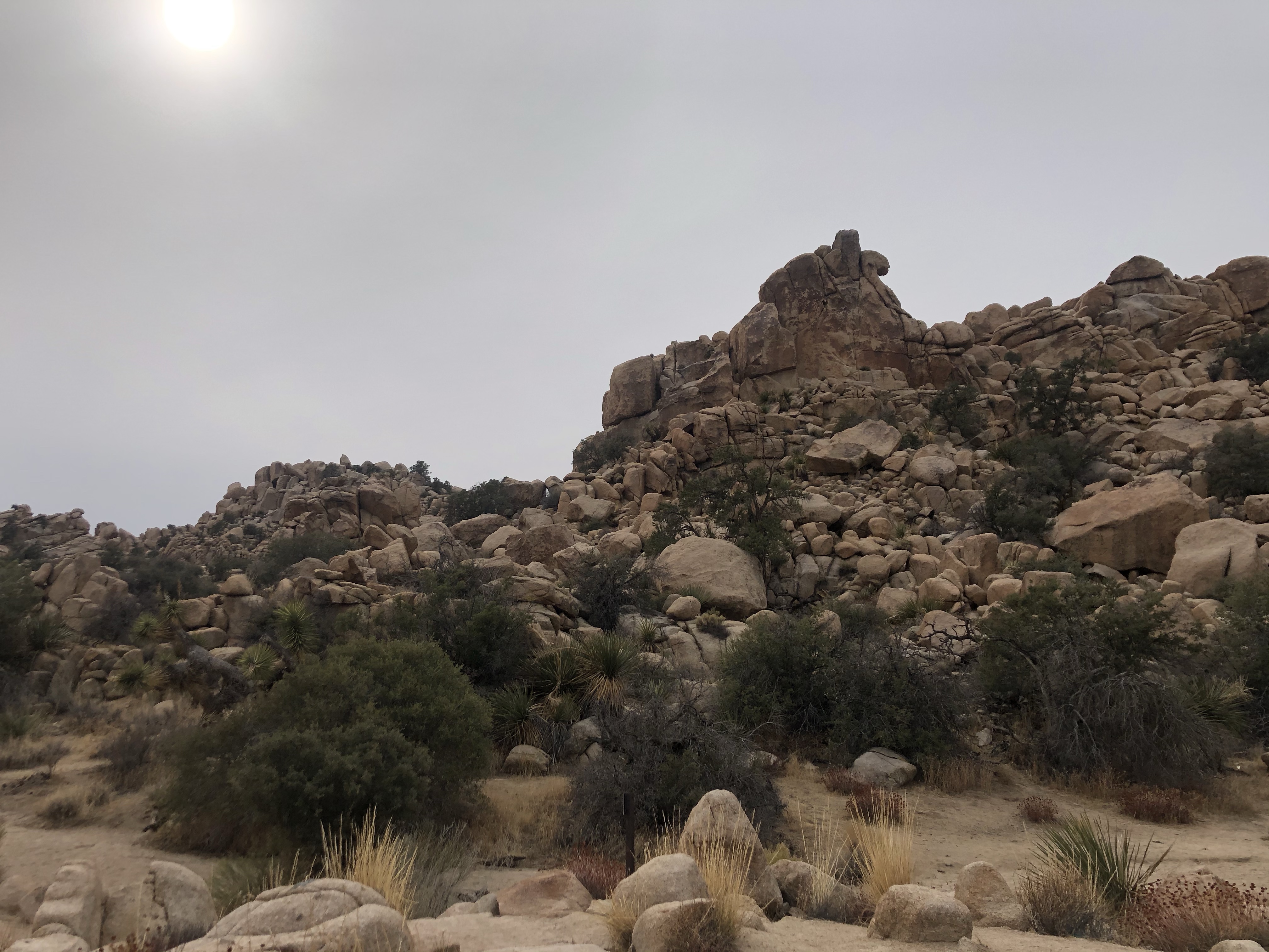
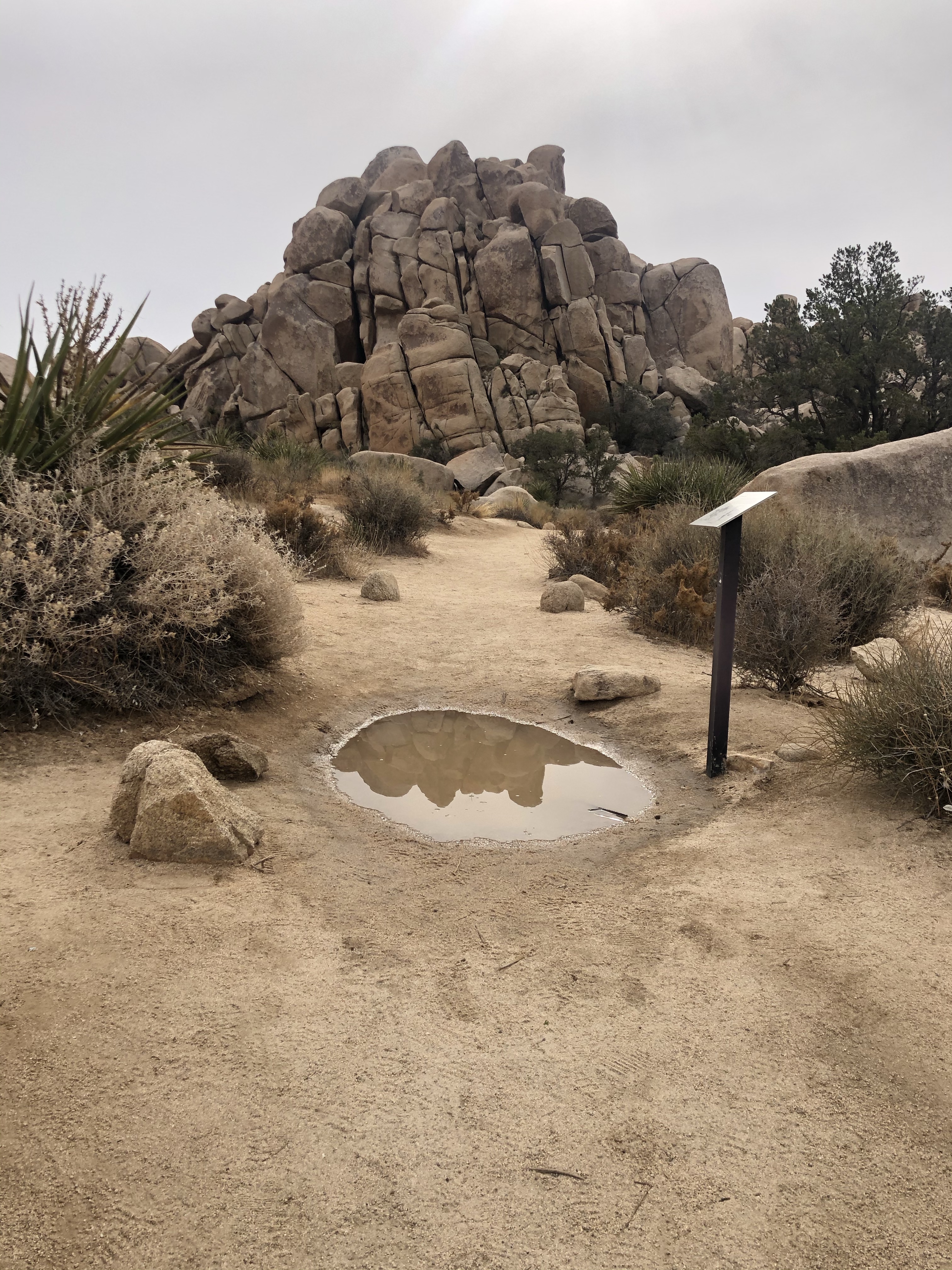
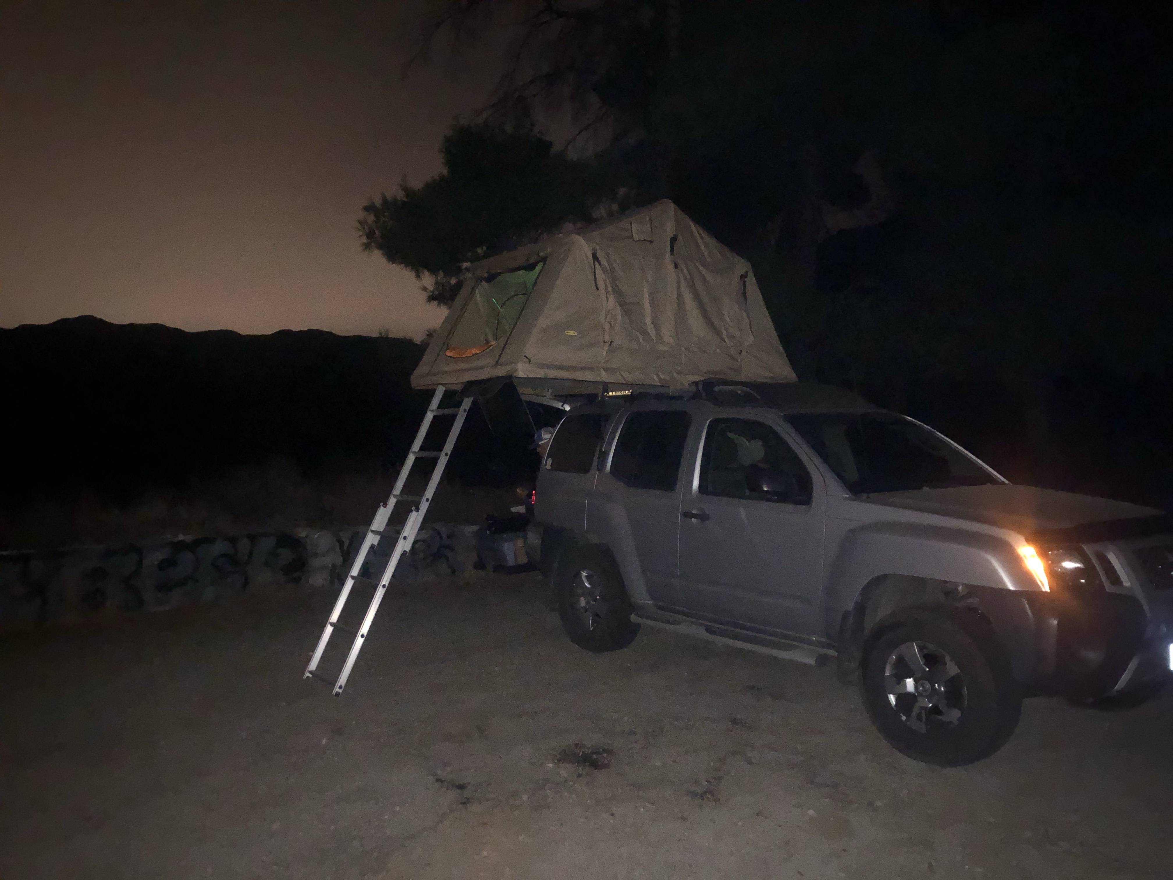
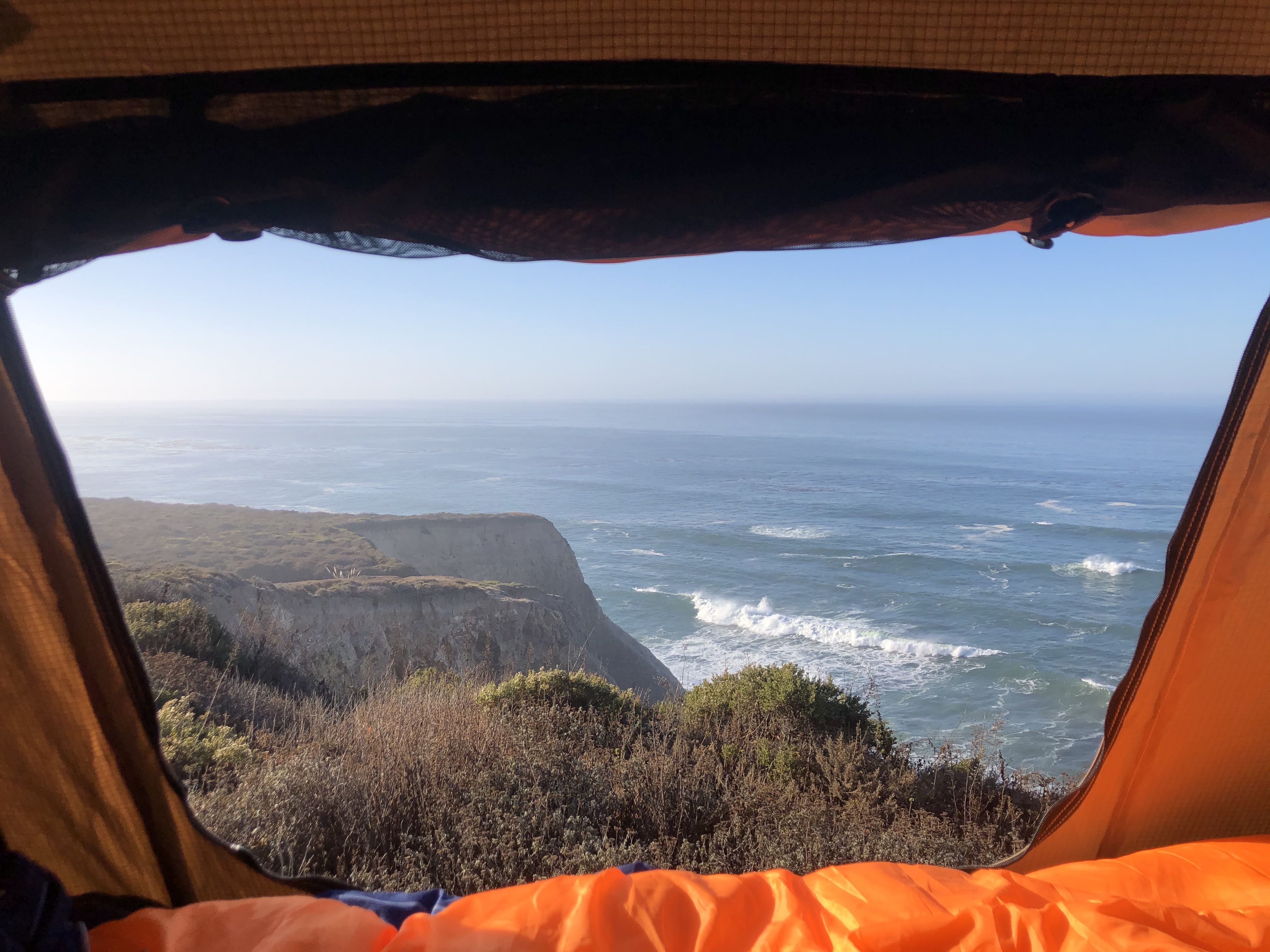
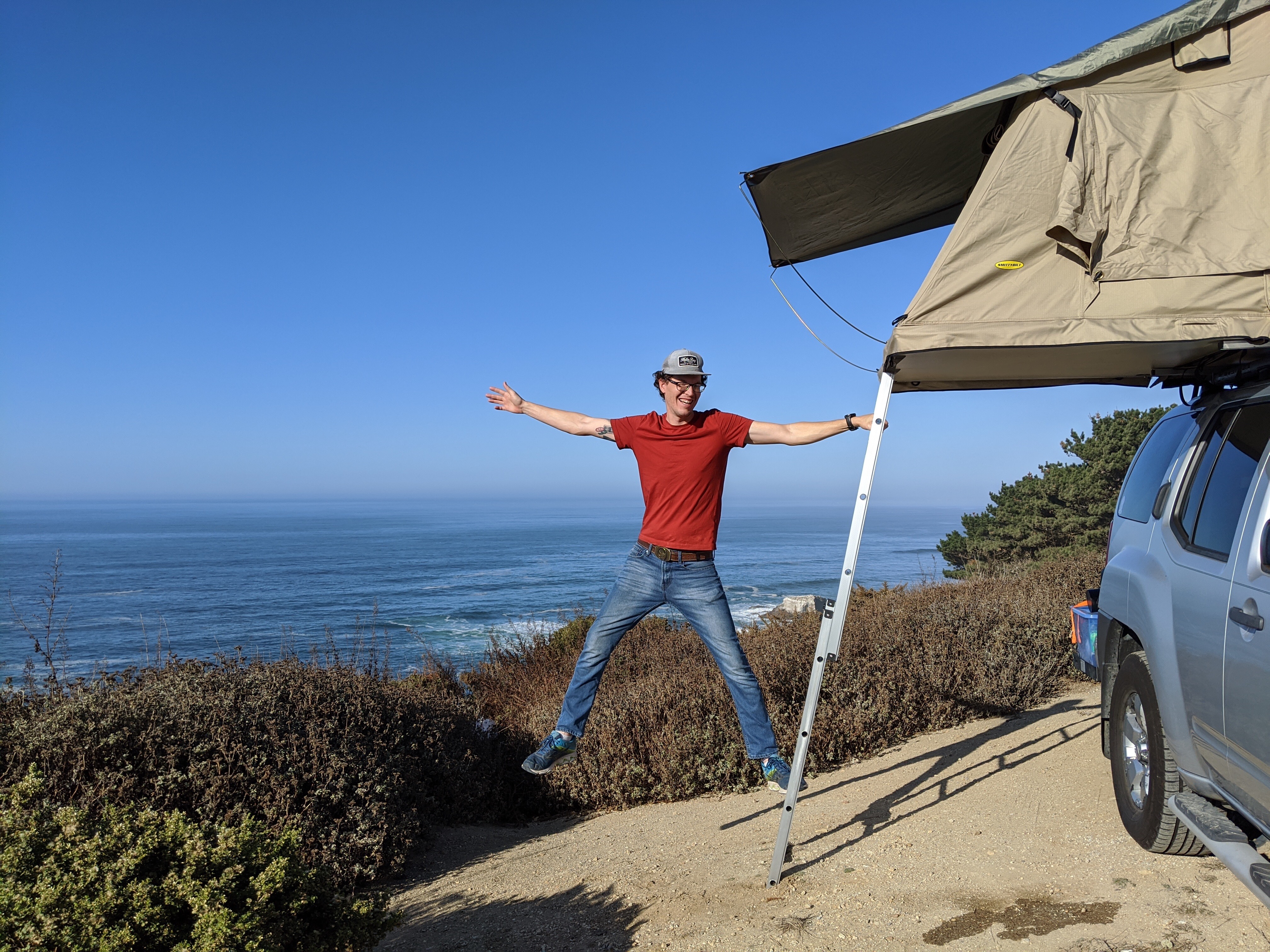
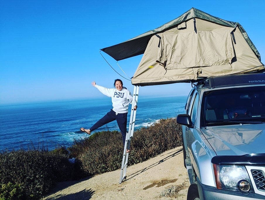
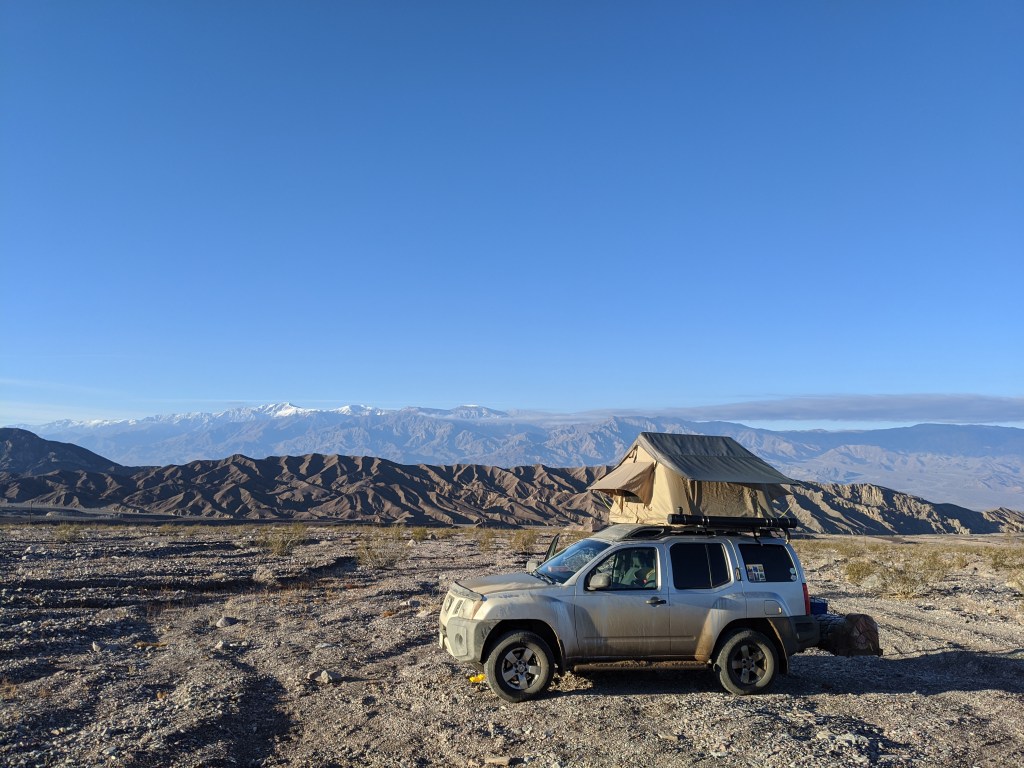
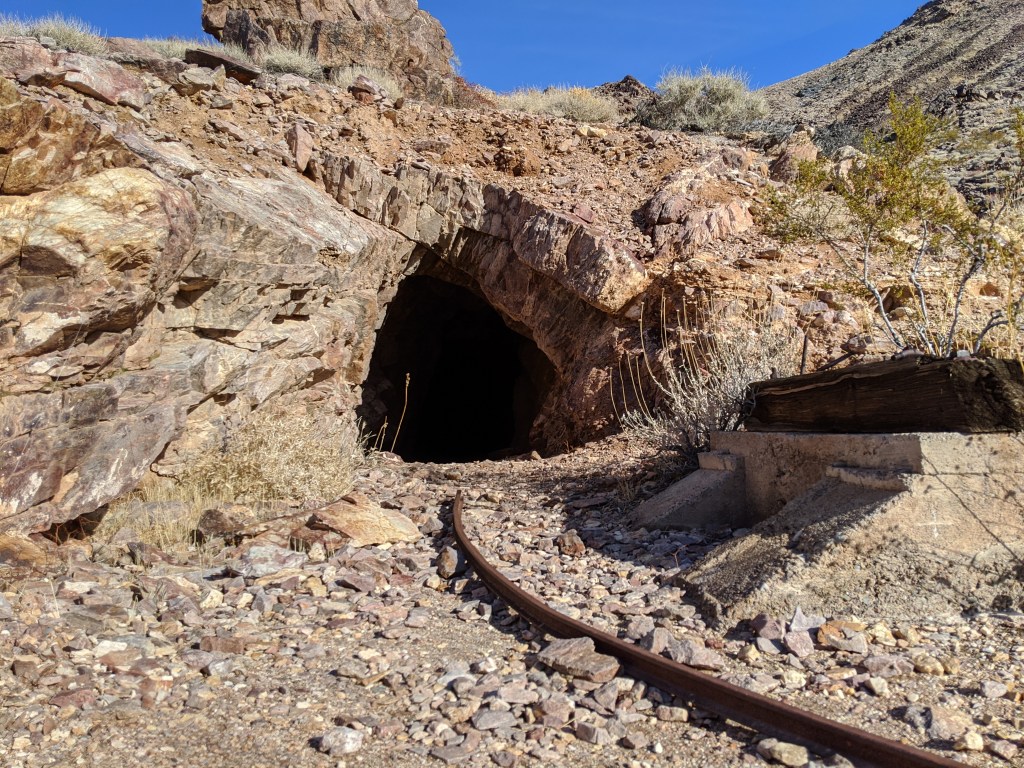
We stayed at the base of Echo Canyon that night. You are allowed to camp in most parts of Death Valley NP as long as you’re 1 mile away from the main road. We set up the tent and was cooking dinner when we see a Jeep rolling down the canyon road. They stopped by our site to chat a bit and suggested that we drive into the canyon in the morning as there was an abandoned mine to explore and if we wanted to continue on the road it led out to the Amargosa Desert.

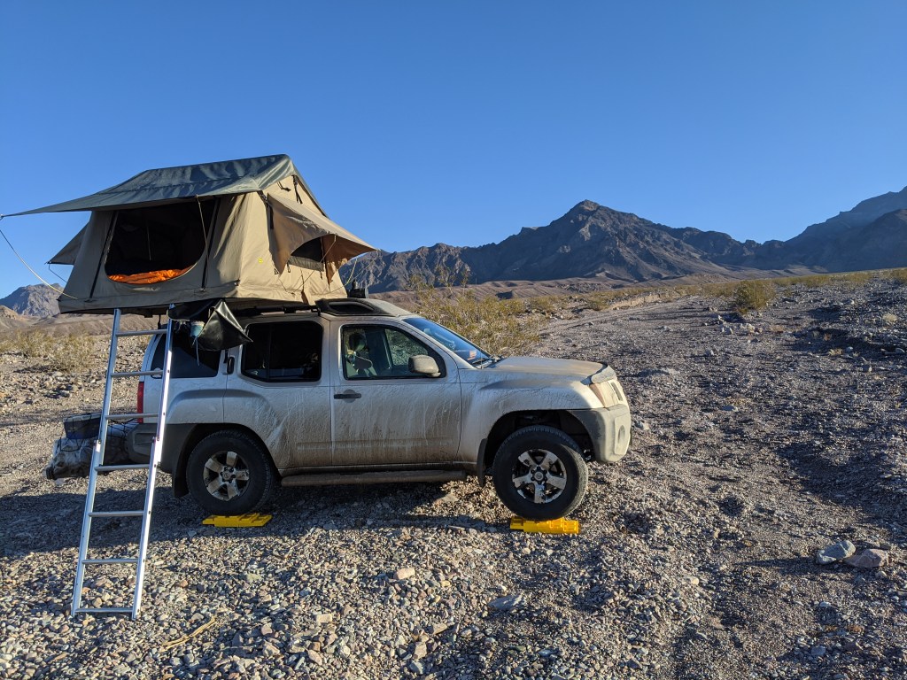
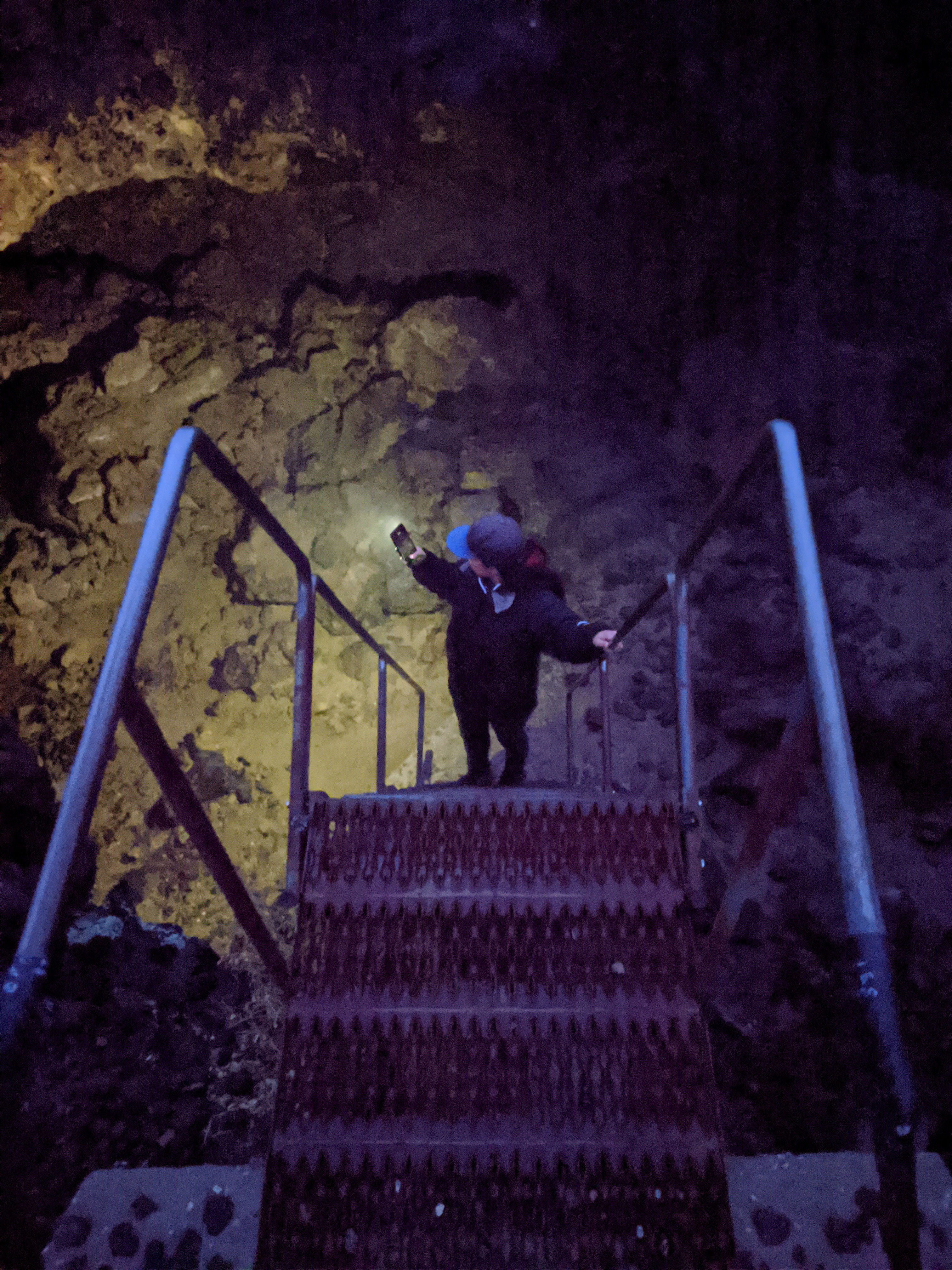
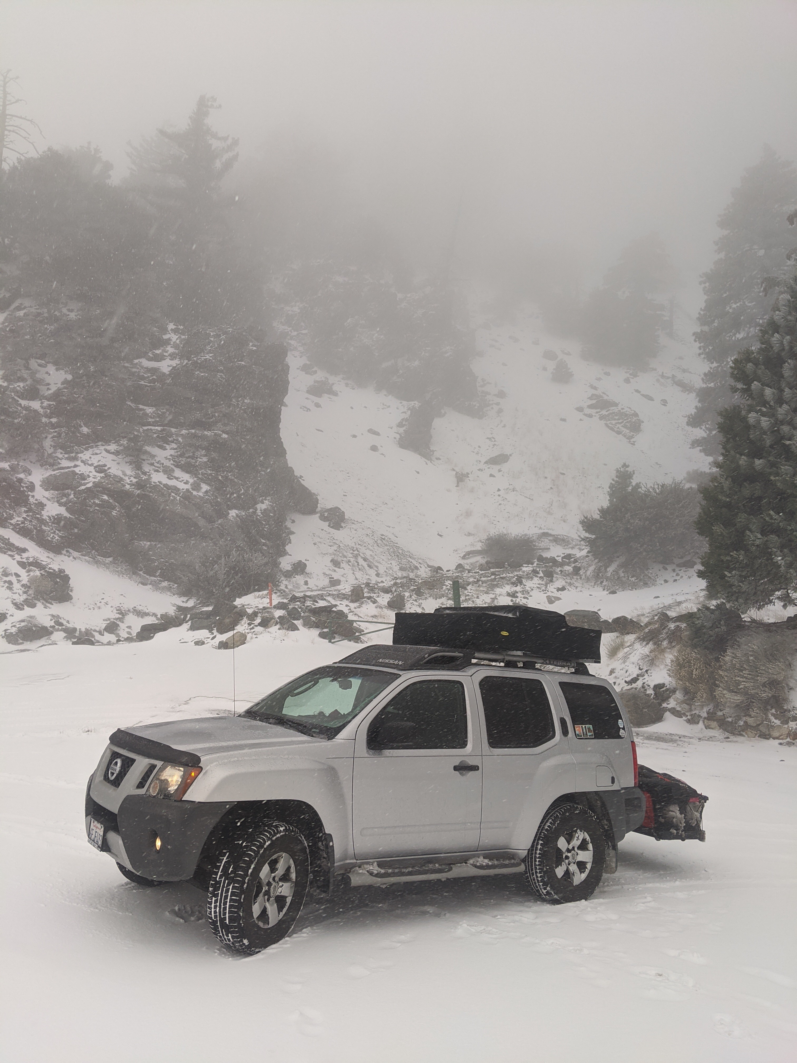
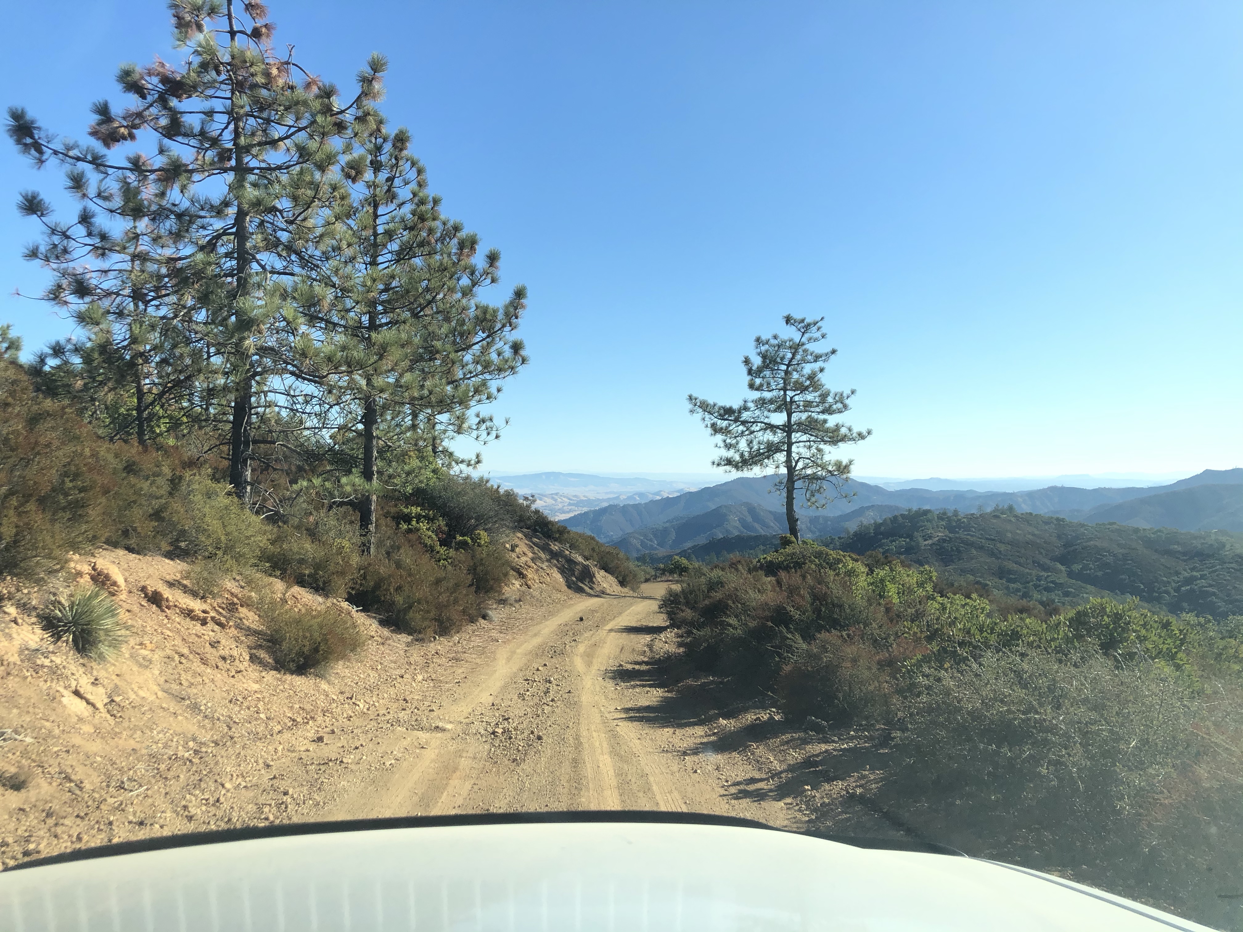
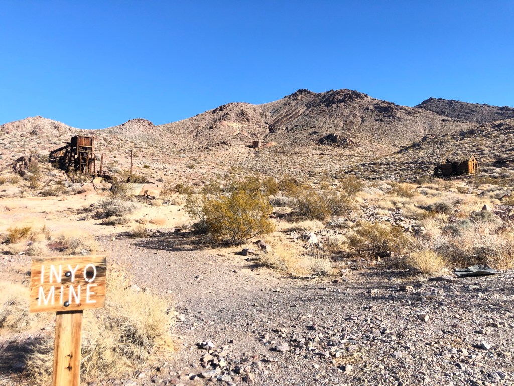
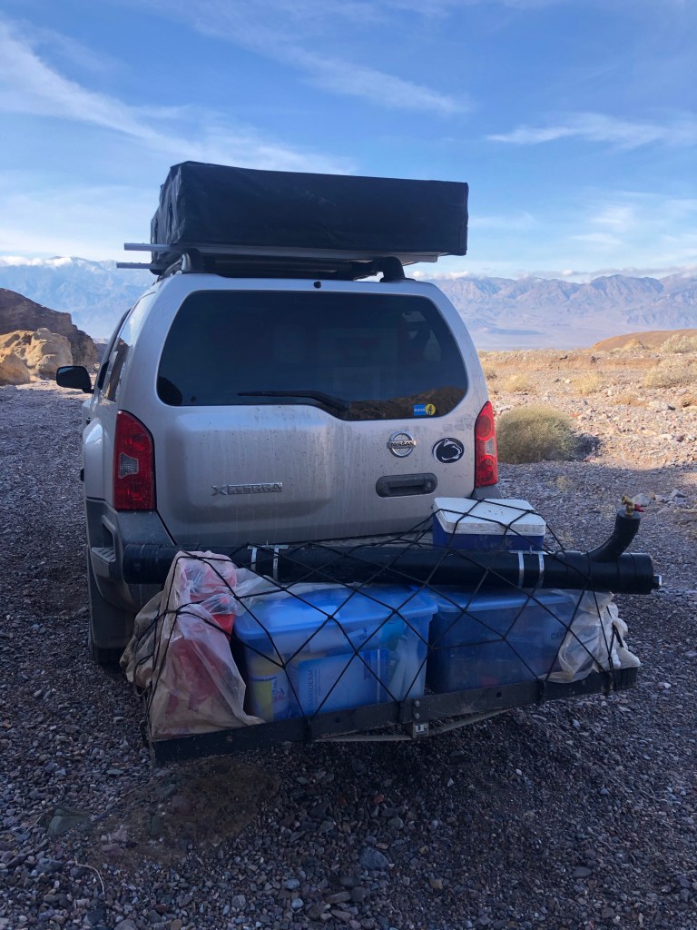
The next morning after we woke up and took in the mountain views, we drove into Echo Canyon. We got to Inyo Mine and explored the area. The road was pretty rocky and high clearance 4×4 vehicles are recommended. On our way out of the canyon, Enoch got a bit excited and drove a little too fast over a large rough patch. We had our first casualty then: the shower that we had mounted to the roof of the car popped off its brackets. Fail #2. After we picked up the shower and put it on our back hitch cargo carrier, we continued our way out, slower this time.

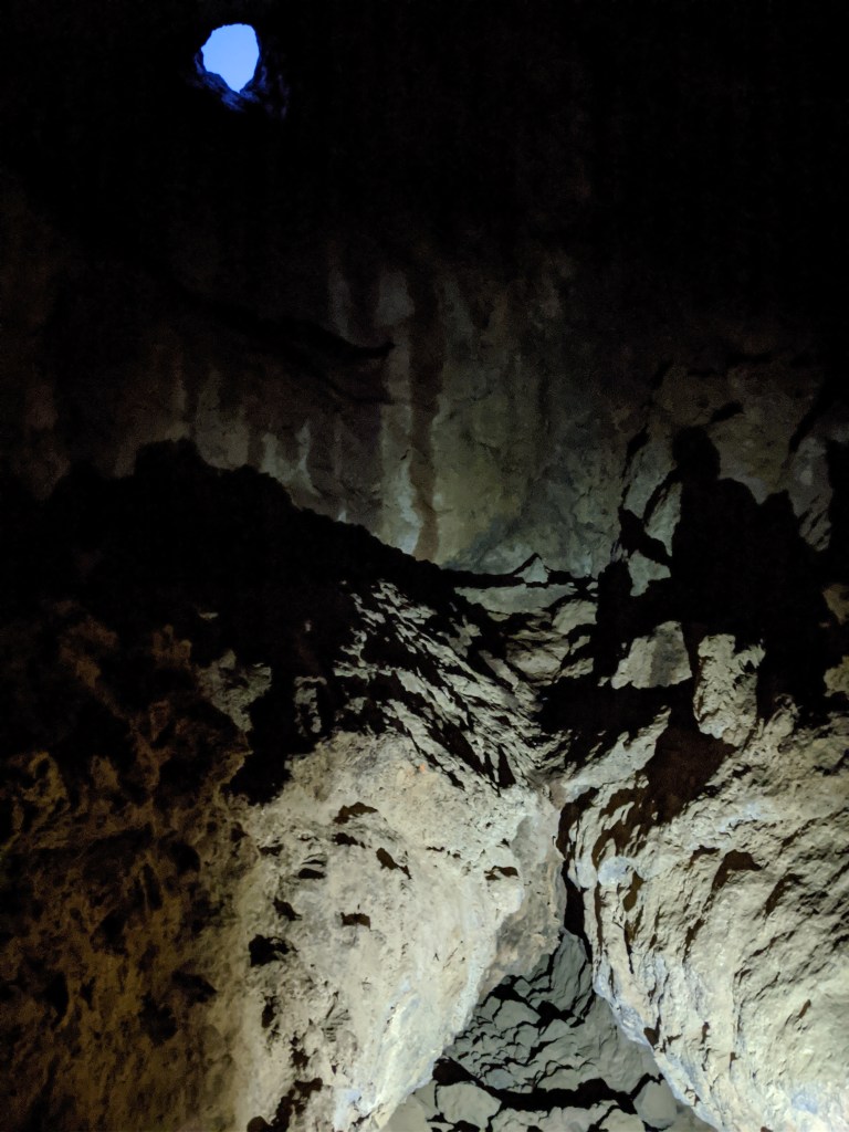
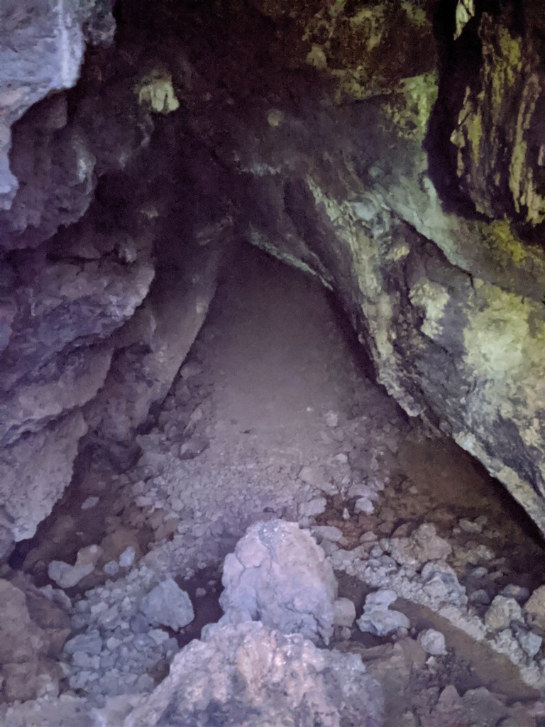
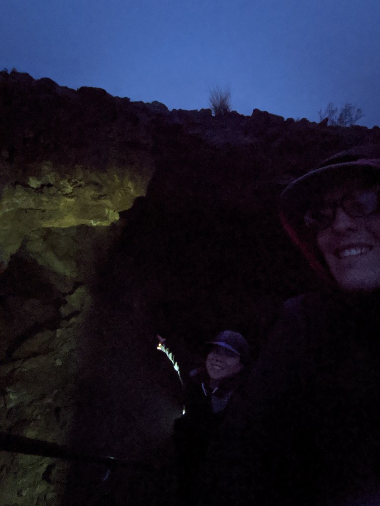
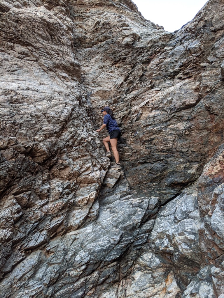
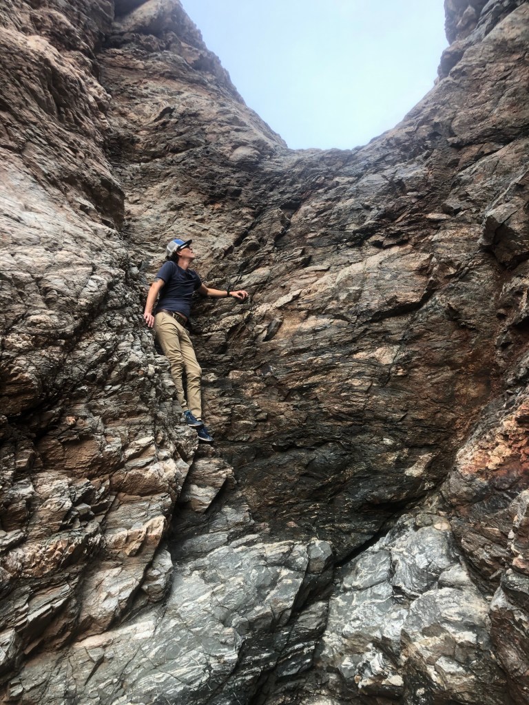
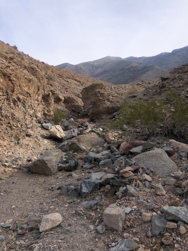
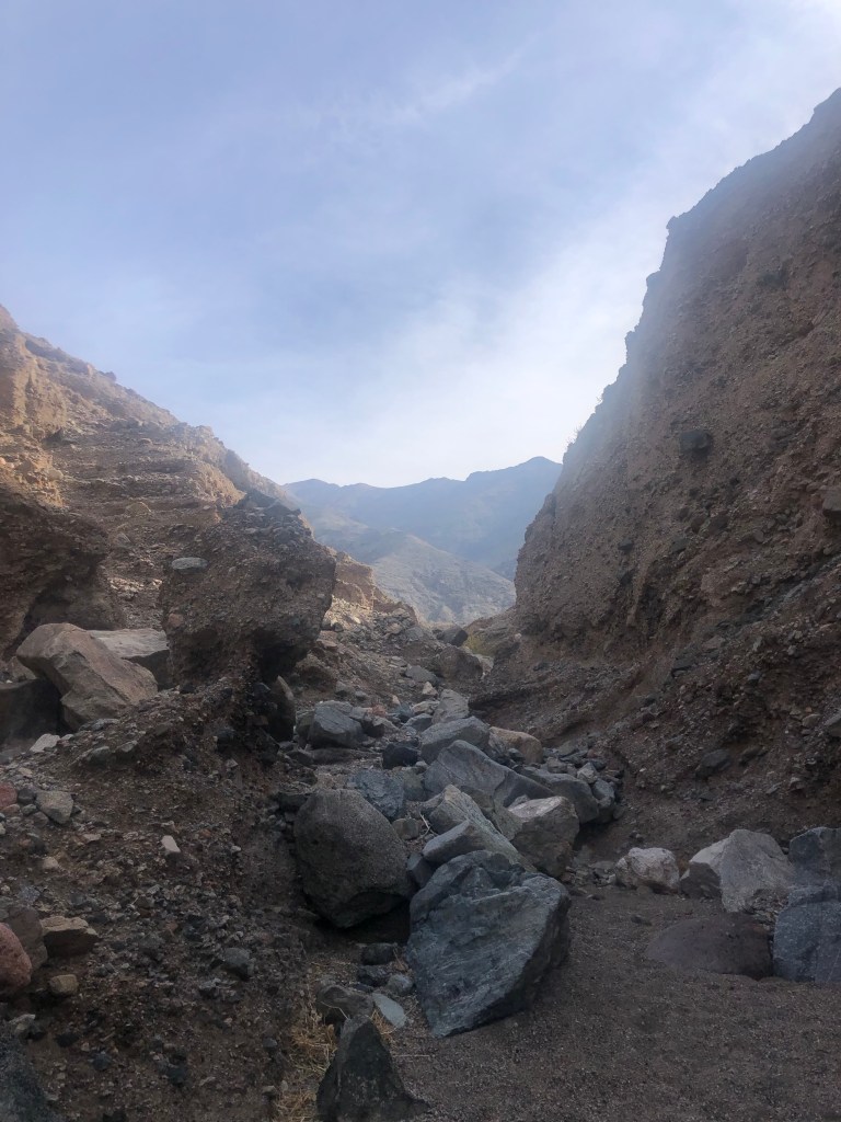
We decided to hike Sidewinder Canyon an unmarked 5 mile out and back hike that features some climbing and crawling into small areas of 3 slot canyons. We got to the trailhead and headed up into one of the canyons. We did some rock scrambling and saw some animal scat but realized the further into the canyon we went the end was just a plateau. We decided to pull up the map and realized we went into the wrong canyon. We went back out to the parking area and that was when we saw the rock arrows on the ground pointing to the correct trail. Fail #3.

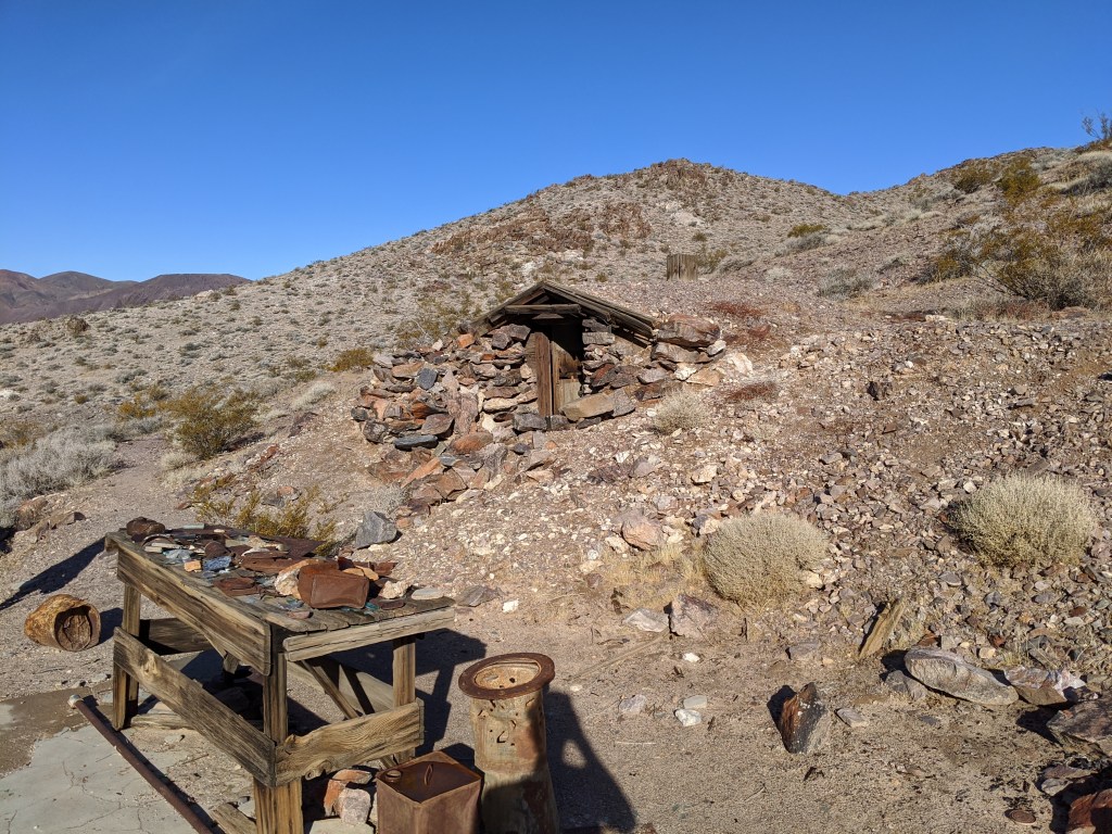
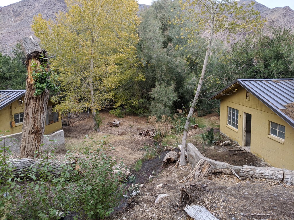
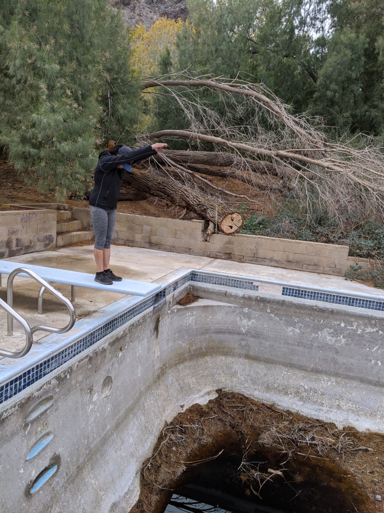
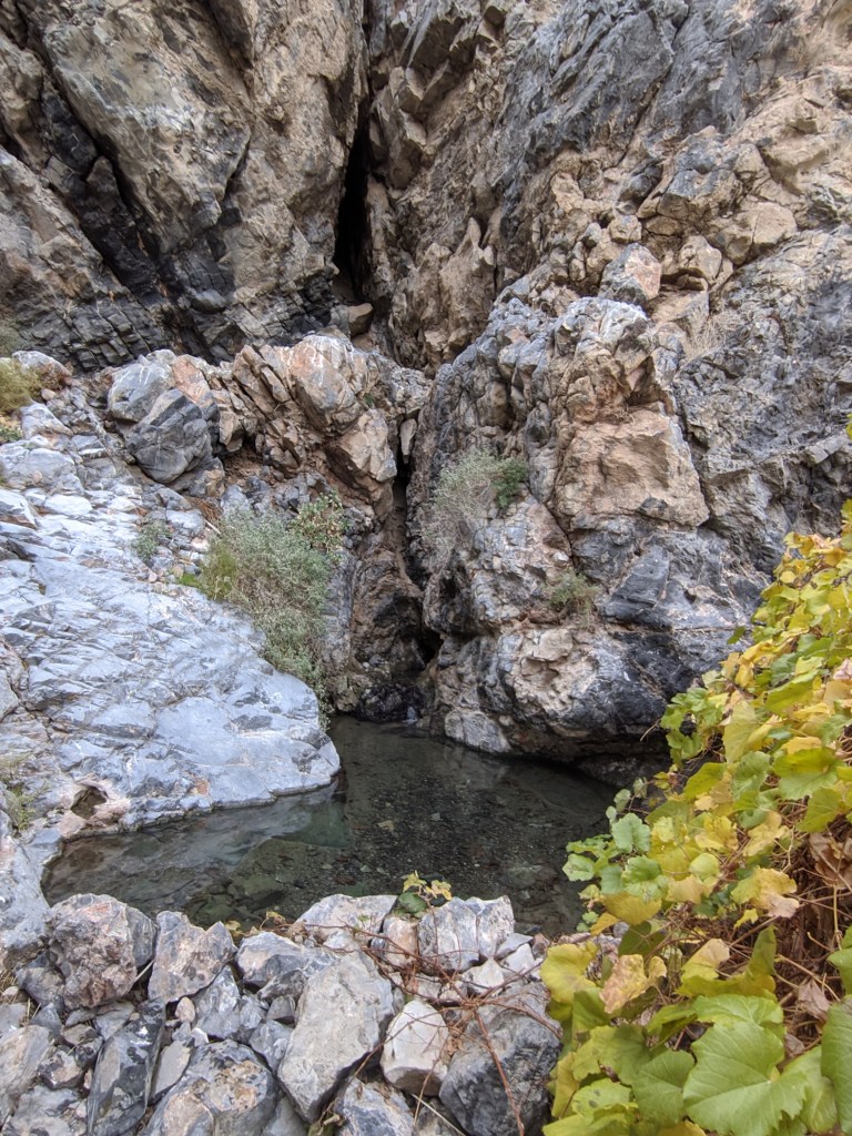
I wasn’t feeling very good so we decided to forgo doing the actual Sidewinder Canyon and instead drive along the West Road which is a road that explores the west side of Death Valley NP and is suggested for 4×4 vehicles. We drove to Warm Springs Camp which is an abandoned campsite for miners. There were a few buildings that were still intact as well as the old pool. The warm spring from which the camp was named after was still running too.

From there we continued on towards Ballarat, a mining ghost town outside of the park. We weren’t able to do any research about the road that would take us to Ballarat as we didn’t have any cell signal in the park. Note: we had to go through Mengel Pass to get to Ballarat. We had zero knowledge about this pass before going into it. This is where things got interesting. You’ll hear more about that in the next post.

Passing through the Mojave Desert

Next, we decided to go Death Valley National Park. We drove through the Mojave Desert to get there. There were 2 points of interest we wanted to see in the Mojave Desert: Mojave Road Mailbox and Mojave Desert Lava Tube.

It was raining as we started driving up to the Mojave Desert. We passed through historical Route 66 and visited a couple of Guardian Lions on the side of the road.

We went through some cool fog/cloud formations going past the mountains. Once we got to the Mojave Desert, the weather started clearing up. The Mojave Road Mailbox is on Mojave Road or formally known as Old Government Road which stretches across the entire Mojave Desert from East to West. This road is an off road 4×4 road so we suggest having high clearance and 4 wheel drive. We drove on half of that road to get to the Mojave Road Mailbox.

When we got to the mailbox, there were so many cool stickers and memorabilia that previous visitors to the site had left behind. There was an actual box with a spiral notebook that acted as a visitors log. So of course we had to sign it too. They even left some objects in the box that would be useful for future visitors like an ace bandage, bandaids, juice pack, bracelets, etc. There was also an area behind the mailbox that was dedicated to all things frogs.

While we were at the mailbox when the sky turned from sunny to foggy. We had to drive through a thick layer of fog to get to the Mojave Desert Lava Tube. By the time we go to the lava tube, it was already dark and the fog was still covering everything in sight. We decided to enter the lava tube anyway, as we were already there and didn’t want to stay overnight. We were planning to stay closer to Death Valley NP that night.

We climbed a metal ladder that lowered us into the lava tube. One side didn’t go very deep probably about 20 feet in. The other side went about 150 feet in. It was like going into an underground cave with some high and low ceilings that you have to crouch under to get past. There were a couple of smaller holes in the ceiling that lead to the top but we had no way of climbing out of those so we made our way back to the entrance and tried to take some photos to show you guys our experience.

After leaving the lava tube, we drove out of the Mojave Desert to the town of Baker. We made a stop at the World’s Tallest Thermometer and Alien Fresh Jerky. Enoch had been to Alien Fresh Jerky about 10 years ago when they used to be a tiny store. He was shocked at their complete makeover. See for yourself:

The next post will be all about our days in Death Valley NP. A lot happened there so you don’t want to miss it. Stay tuned!

3 days in Joshua Tree National Park

After the Channel Islands, we started making our way to Joshua Tree. We broke up the drive by staying a night by Lake Hemet in the Santa Rosa and San Jacinto Mountains. We did not expect snow there, but it was a beautiful backdrop to wake up to.

Yogi in the snow
Lake Hemet

I’ve been getting some questions about how we stay warm in the colder climates. I’ll address that in the Yogi page as I continue to work on this blog. Long story short, our sleeping bag is amazing!

After packing up the car, we finished our drive to Joshua Tree National Park. We stayed in the southern part of Joshua Tree the first night by the Cottonwood Visitor Center. Most people head straight to the northern part of Joshua Tree first as there’s more to do there but we wanted to see the whole park so we decided to go south to north. We ended the first night with a beautiful sunset and a toasty fire.

Sunset in Joshua Tree
Our setup

The next morning was our first official day inside of the park. The first hike we did was Lost Palms Oasis which is a 7.2 mile out and back hike. We also hiked Mastodon Peak, a 2.4 loop that connects to the Lost Palms Oasis trail.

We didn’t see any Joshua Trees on this trail as they are more abundant in the northern part of the park. But we did see a lot of different cacti, some desert animals and cool rock formations.

After the hike, we drove down to Slab City/Salvation Mountain as that was a place on both our lists that we wanted to check out. When we arrived, it was already dark, so we did a quick drive around the area and then set up camp near the entrance to the city.

When we woke up, we really saw how desolate the area was. It was cool to see how they created their own community in this area though. We stopped by Salvation Mountain on the way out.

Slab city is about 1.5hrs away from Joshua Tree so when we got back to the park we only had a few hours of daylight left for a hike. We did a few small hikes/walks to views points like Cholla Cactus Garden, Skull Rock, Ryan Mountain and Keys View. We stayed north of Joshua Tree this time on a dry lake bed.

On our last day, we went to the Wonderland of Rocks, Hidden Valley, Cap Rock, Lost Horse Mine, and Barker Dam.

That concludes our trip to Joshua Tree NP. Next, we’re headed to the Mojave Desert and Death Valley NP.

Our day on Santa Cruz Island in the Channel Islands National Park

Ventura River Preserve

We made it to the Channel Islands! After leaving LA, we spent the night in the Ventura River Preserve in Ojai. We woke up with some frost on Yogi.

Frosty
Back of the boat views

After packing up the tent, we made our way down to Island Packers to catch our ride to Santa Cruz Island. Water conditions were pretty rough going out with 6 foot swells. It was a very rocky ride and it also started raining a bit before we got to the island. Needless to say we got very wet as we were sitting in a splash zone in the back of the boat most of the ride.

We arrived at Prisoner’s Harbor on Santa Cruz Island. We decided to do a guided hike to Pelican Bay which is in nature conservancy land. During the hike we learned the story behind Prisoner’s Harbor: Mexico decided they didn’t want Spain or any other country to have the islands off the coast of California. So Mexico sent up their burliest prisoners and banditos to the Channels Island to stake claim of the islands. They left the prisoners with a small herd of cattle and some tools to survive off of. The prisoners obviously wanted to escape so they cut the hide off the cattle and made boats to sail off the island. But because the hides were freshly cut the blood attracted sharks which ate all the prisoners. And that’s how the harbor got it’s name.

Prisoners harbor
Pelican bay trailhead
Nature conservancy land
Trail view
Pelican bay

The rain was on and off during the hike but we still got to see some cool views, an island fox and some island scrub jays. When we finished the hike the rain really started coming down but what it left made up for everything. 

Double rainbow
Sunset from Island Packers boat

We boarded the boat back to Ventura, it was a much smoother ride going back. And we got a great goodbye from the sky.

It was a beautiful end to a great day! Next we’re headed to Joshua Tree National Park. Stay tuned!

We’re headed to the Channel Islands (not).. but Happy Thanksgiving!

We’re on our way to Ventura, CA to visit the Channel Islands. We stopped at a couple of places along the way to break up the drive:

Firestone Grill, San Luis Obispo (get the Tri tip sandwich, you won’t regret it)
Ostrichland USA. Quirky place to stop and feed some ostriches and emus

If you’re driving down PCH from San Francisco to Los Angeles, those are 2 places worth stopping by.

Back to the Channel Islands. We didn’t know how much prep was needed to visit this park. Note to everyone: do your research before you get to the destination because what you expect to be an easy ride isn’t always the case. We get to Ventura and find a chill campsite by the beach to stay the night. 

Hobson Beach, Ventura

We made the day an errand day to finish up some work on Yogi and figure out which channel island we wanted to go to. The first fail: most of the islands were closed off for restoration. Second fail: there’s only one boating company that takes you to Channel Islands and the rides were all booked up on the day we wanted to visit. So that sucked. We had to redo our plans since we had a Friendsgiving to attend in LA the next day. We decided we’ll attend the Friendsgiving and then drive back up to Ventura the day after to catch the 9am boat ride (booked that before heading down to LA, also the only ride that was available) to Santa Cruz Island in the Channel Islands.

On our way to LA we camped up in the San Gabriel mountains and was planning to do a hike to the Bridge to Nowhere in the morning.

San Gabriel Mountains. (you can see the glow of LA in the back)

Well those plans didn’t work out either as we woke up to some surprise rain (we didn’t check the weather, fail #3?) Anyway we quickly packed up and decided to explore the mountains since we had some time before the Friendsgiving. We drove up to Mt. Baldy and was pleasantly surprised with some fresh powder.

Mt. Baldy Ski Resort
Fresh powder

We had some fun in the snow and then headed down to LA for the Friendsgiving. It was great to share a meal with old and new friends.

One of the new friends we made

Before heading back to Ventura we decided to do one tourist thing as it is Thanksgiving and people shouldn’t be out. We stopped by the Griffith Observatory and Hollywood sign. 

Griffith Observatory
Hollywood sign (far back corner)
Saw a coyote on the way down

Now we’re headed back to Ventura to catch our boat ride in the morning. I’ll let you know how it went afterwards. Happy Thanksgiving everyone!

Off to a great start!

Hey everyone! It’s been about 4 days since we started the trip and things have been going great. After moving out of my apartment, we realized wehave way too much stuff. We successfully fit everything into Yogi but will definitely have to get rid of some items along the way.

The first night out, we stayed along the coast of highway 1. It was beautiful to wake up next to the view and sound of the water.

Highway 1 campsite

We’ve been finding some great spots to set up camp at night. The iOverlander app is a great resource for those that are looking for wild camping all over the US. Our next stop was Big Sur. We both had already been in the area before but had never camped there. We found an awesome site on top of a mountain in Los Padres National Forest. The reviews and pictures in iOverlander said it had some fun 4×4 roads and is a great place to watch the sunset. They were right! See for yourself:

Los Padres National Forest
Current setup
Big Sur overlook
Stargazing

This is just the first of many sunsets that we will be experiencing on this trip. It was also a great place to look at the stars. There were a decent amount of people on top of this mountain with us, along with another roof top tent vehicle. This must be a popular place for a lot of people to come to and I can see why. It got a bit windy at night and we could hear the campers in tents moving their cars around to block the wind from blowing their tents away. Good thing ours is bolted to the car!

Our next stop is Ventura, CA to visit our first national park of the trip: Channel Islands National Park. Check out the next post to hear all about it!

The First Post

Matanuska Glacier, Alaska

Welcome to our page! We are Enoch and Delia and this is our first blog post. This will all be written in Delia’s point of view as Enoch will be busy driving. How should I begin? I guess I should tell you guys how this idea came into fruition. It all started when I met Enoch in a hiking meetup. We bonded over Cardi B and our love of travel. We’re both East Coasters that ended up in California. We talked about wanting to travel around the US but didn’t have any set plans to do it. As an experienced nomad, his next stop was Alaska and I mentioned that I had never been there before. I decided I would visit him and we could do a road trip around the state. After visiting Denali and seeing all of what nature has to offer, I decided I needed to see more.
Let’s backtrack a bit, I was born and raised in Brooklyn, NY. Trees by the sidewalk was the most greenery I saw growing up. Luckily my family put the travel bug in me and I always enjoyed exploring new places and immersing myself into new cultures. Anytime I was able to travel to a new place, I quickly jumped on it. But I longed to travel for an extensive amount of time to see more, consistently, instead of having to pack a bunch of things into a short trip. I came to California thinking the warmer weather was going to be a happy change for me but after a year, I realized I missed NYC and my friends and family more than I liked the weather (BTW the weather in LA is soooo much better than the weather in the Bay Area). I decided I should probably head back to the East Coast and figure out my next step from there. However, I didn’t want to just fly as I had done coming to California. Here was my chance to do the cross country road trip that I’ve been wanting.
As I spoke about this plan, Enoch was already on board. We settled on a plan of a cross country road trip while visiting all of the national parks. We are going to do this trip as frugal as possible (finding free campsites, cooking instead of eating out, etc). He equipped his car with all of the necessities we may need on the road (rooftop tent, homemade drawer system, shower, etc). Fast forward to now, we have about 3 weeks until we embark on this journey. I still have a lot to prepare but I am ready for this adventure. I hope you are too! Feel free to follow along in this blog or on Instagram, as I write about our days, struggles and learnings throughout the trip. Any tips or recommendations are appreciated! Thank you for reading and I’ll see you guys next time.

Design a site like this with WordPress.com
Get started