Traveling Post Quarantine

Times Square, NYC

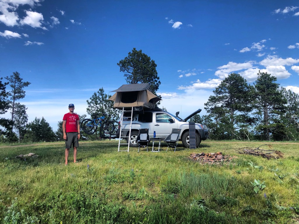
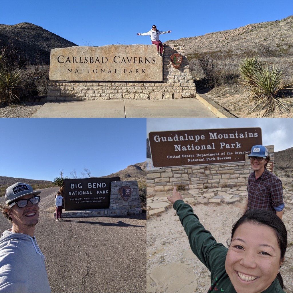
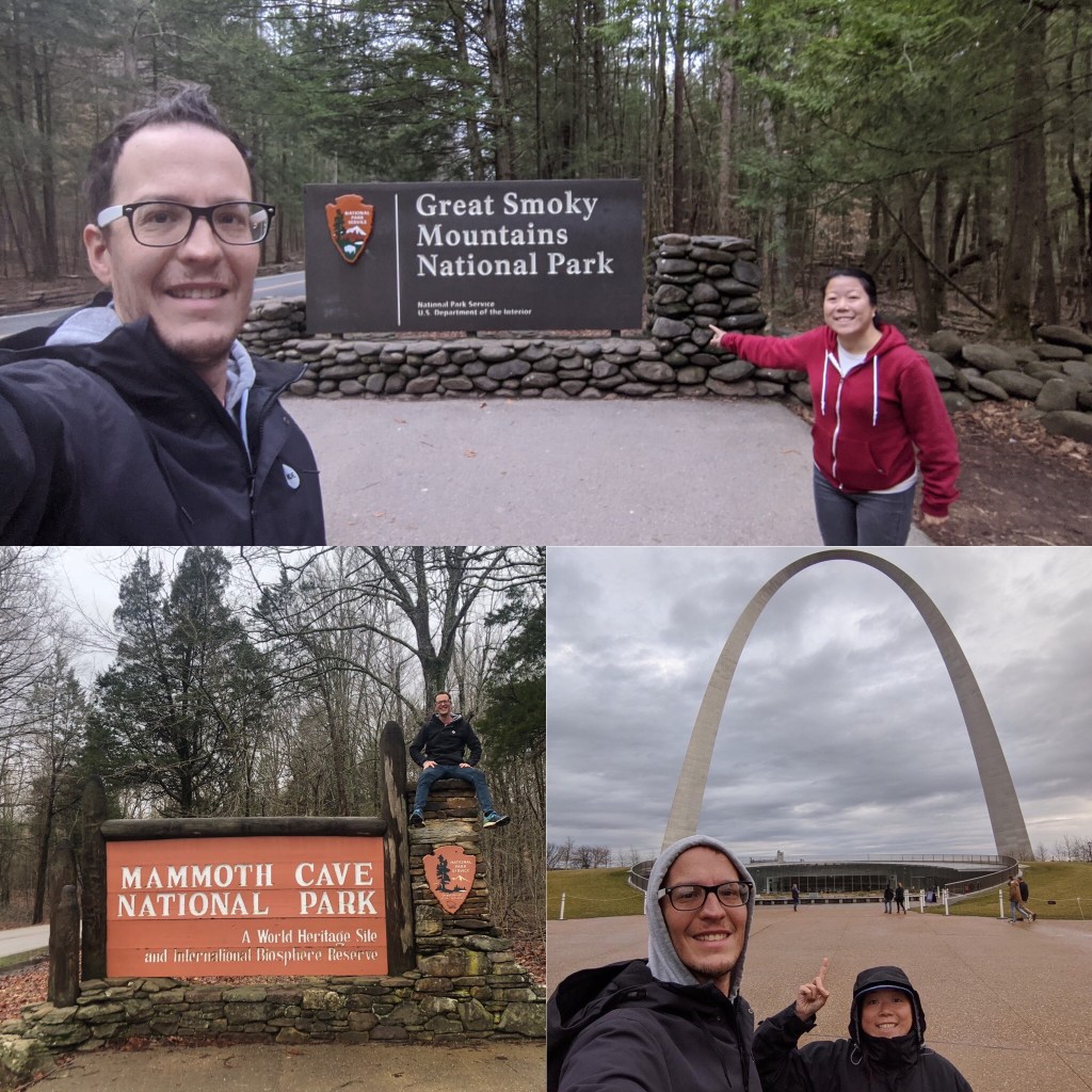
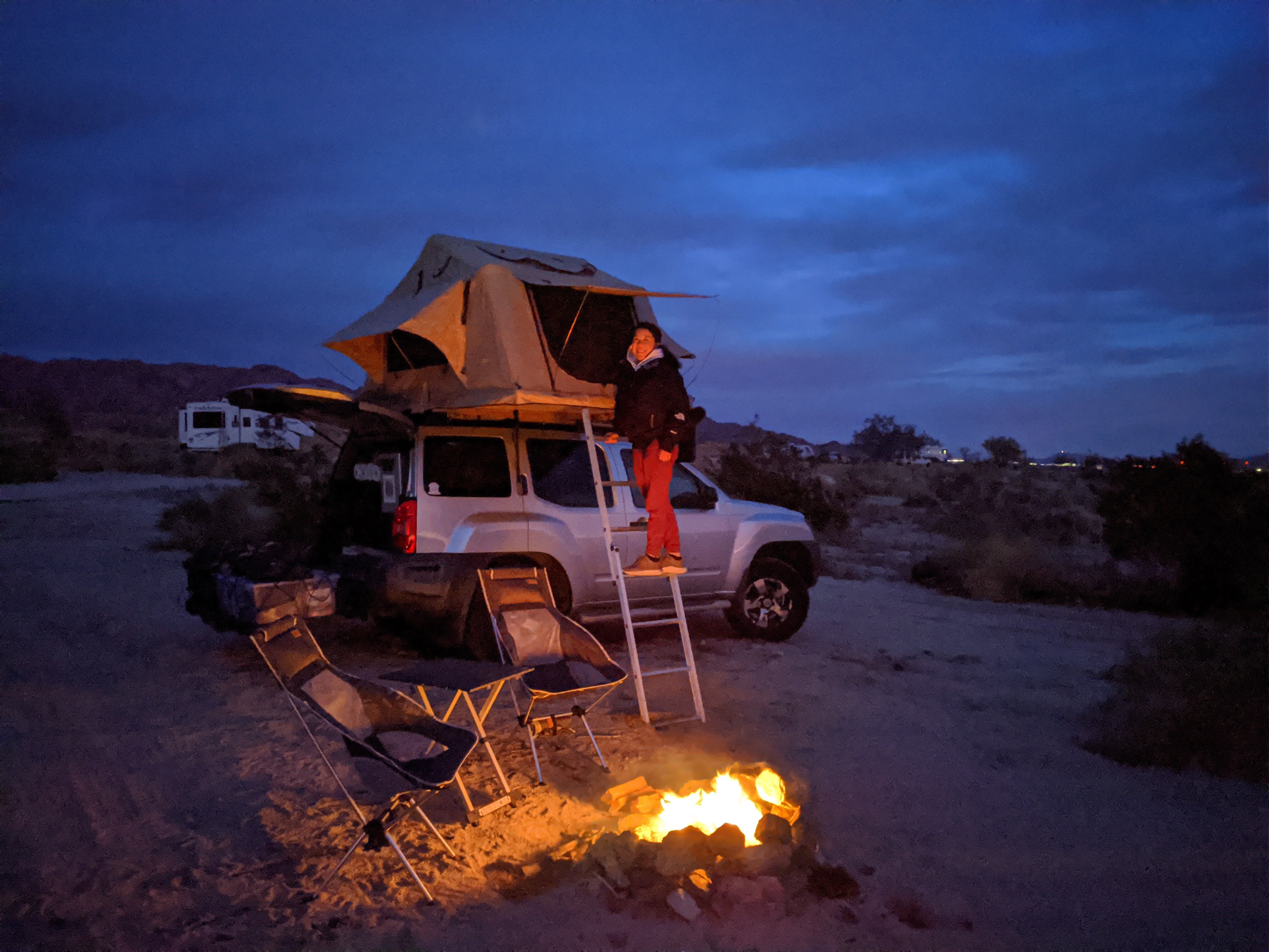
Hi! It’s been awhile since I’ve posted. I being Delia, one half of MoLeisureXventures, Enoch is busy driving lol. If you’ve been following from the start, Thank You! If you just started following, Welcome to our adventure! So as you may or may not know, we’ve been traveling full time in our Xterra with a goal to visit all of the National Parks. We started in California, November 2019 and have been to 29/62 National Parks so far (including the ones that we visited after quarantine, more on that later).

We arrived to the East Coast in March, around the time Covid was starting to get more serious. Our plan was to get to New York by April to attend my cousin’s wedding, spend some time with friends and family and then continue to Acadia NP in Maine. Unfortunately, that did not happen. The last National Park we visited before the national shutdown was Shenandoah NP, in Virginia. We planned to visit Washington DC afterwards, but it was already in shutdown mode so we hurried up to New York and spent most of quarantine there.

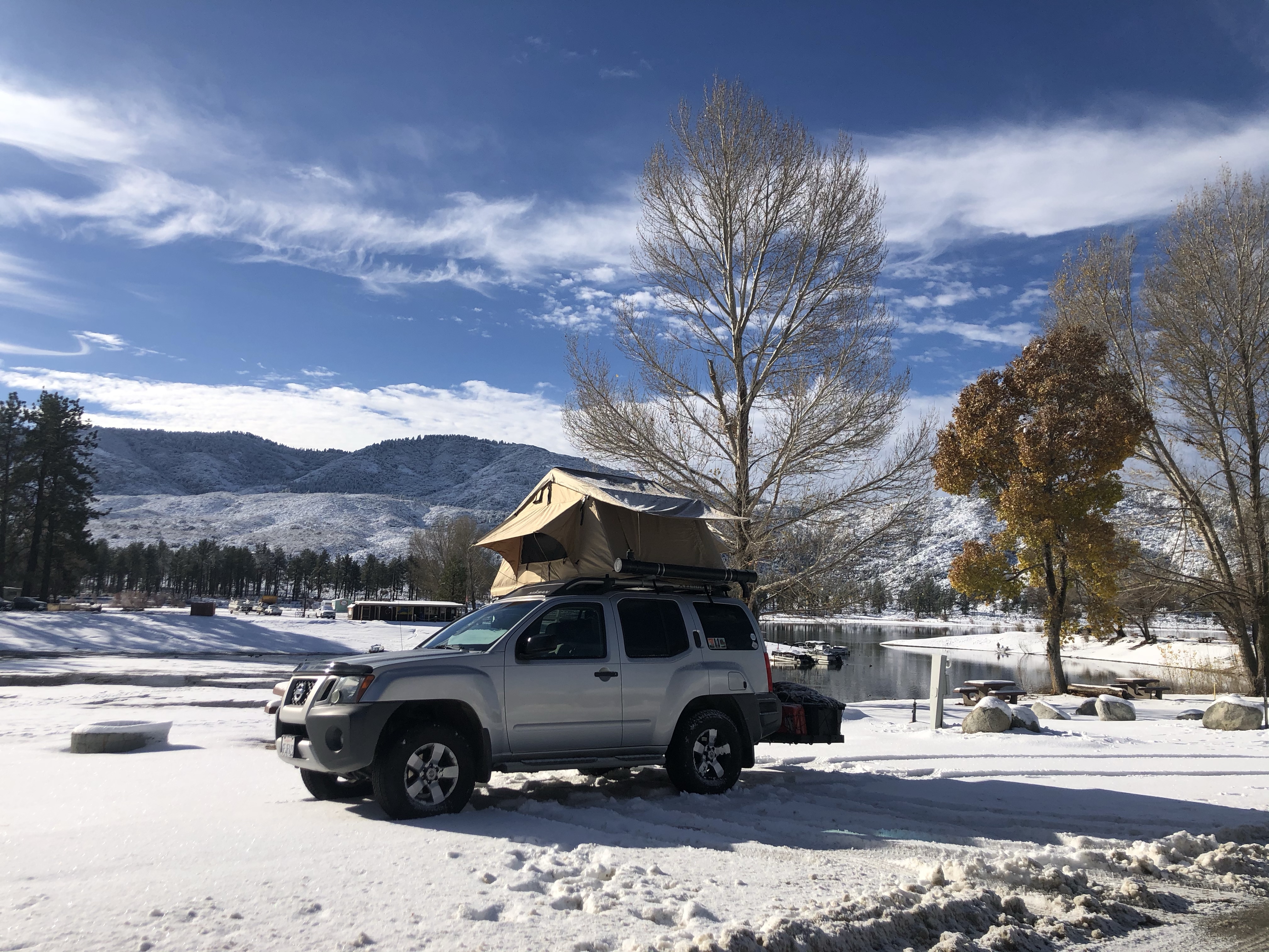
We were stagnant for the two months of April and May, bouncing between Brooklyn, NY (my hometown) and Cape Cod, MA (Enoch’s last hometown). We took this time to relax and appreciate being in an actual home and having access to a shower. It was also great to see some family and friends again and Enoch was able to add a bunch of upgrades to Yogi. But we were starting to go stir crazy.

We monitored the news and when it seemed like the country was starting to open up again, Acadia NP opened back up on June 1st, we started back on the trip. We made sure to comply to all health regulations, ie. wear a mask whenever in public, stay 6 feet apart from people and to wash our hands as much as possible.

We try to find remote campsites and the only time we would be around people would be when we get gas, go grocery shopping, and if we stopped to get food. We drove from Brooklyn to Cape Cod for one last time to say our goodbyes and headed up to Maine. The roads were already a lot more crowded than before (apparently everyone was going stir crazy). We got to Maine, found an empty area close to Bar Harbor to camp, and were just excited to be back on the road, continuing our trip.

Acadia NP (#23) was open to the public during quarantine but their Park Loop Road was only available for bikes and pedestrians. They opened the road back up to vehicles on June 1st except for their shuttle buses, which were still not operating. We got there on June 2nd (we didn’t waste any time). We could already tell the park was emptier than normal. Both Enoch and I had already been to Acadia on separate occasions so we knew how packed the park would usually be, especially in the summer.

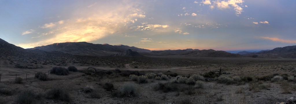
Driving along the empty Park Loop Road was kind of nice. We could tell nature had thrived while humans were stuck indoors. The water was bluer and the trees looked greener or maybe it was because I had been stuck indoors for so long my eyes were playing tricks on me 🤷🏻‍♀️. Either way, we were happy to be back in nature and appreciating its beauty once again.

We walked around in Bar Harbor as well, and it was definitely a lot quieter than normal. I would say about half of the shops were open and half were still closed. The majority of the people walking around were not wearing masks. As we continued on the trip, we noticed that was common among small towns. We were able to grab a bite to eat on the patio of a restaurant. We had to wear a mask to enter the premises and order, which we gladly obliged.

We had plans to do a couple of major hikes in the Northeast but we’re unable to because the facilities were closed due to Covid. 1) Mount Katadhin, the highest point in Maine and 2) Mount Washington, the highest point in New Hampshire and the Northeast. We have hopes that they will be open when we return.

We mostly stayed to ourselves on the drive from Acadia, through New Hampshire, Vermont and upstate New York. The trend was the same through all of the small towns that we passed, no one was wearing masks. The only people that we encountered wearing masks were fast food workers, because it’s required. Other than that it didn’t seem like people cared anymore. We were able to eat outdoors at a restaurant in New Hampshire. They set up part of their parking lot as outdoor seating and served their food in disposable containers. Seems like a lot of waste but it was nice to be able to eat restaurant food that’s not fast food.

We stopped in Pittsburgh, PA to visit some friends and we started noticing more people wearing masks. Maybe it’s the city mentality? It was also the first time were able to sit indoors at restaurants, every table was distanced per social distancing guidelines. There were a decent amount of people in the restaurants and on the street. Things were actually starting to feel kind of normal.

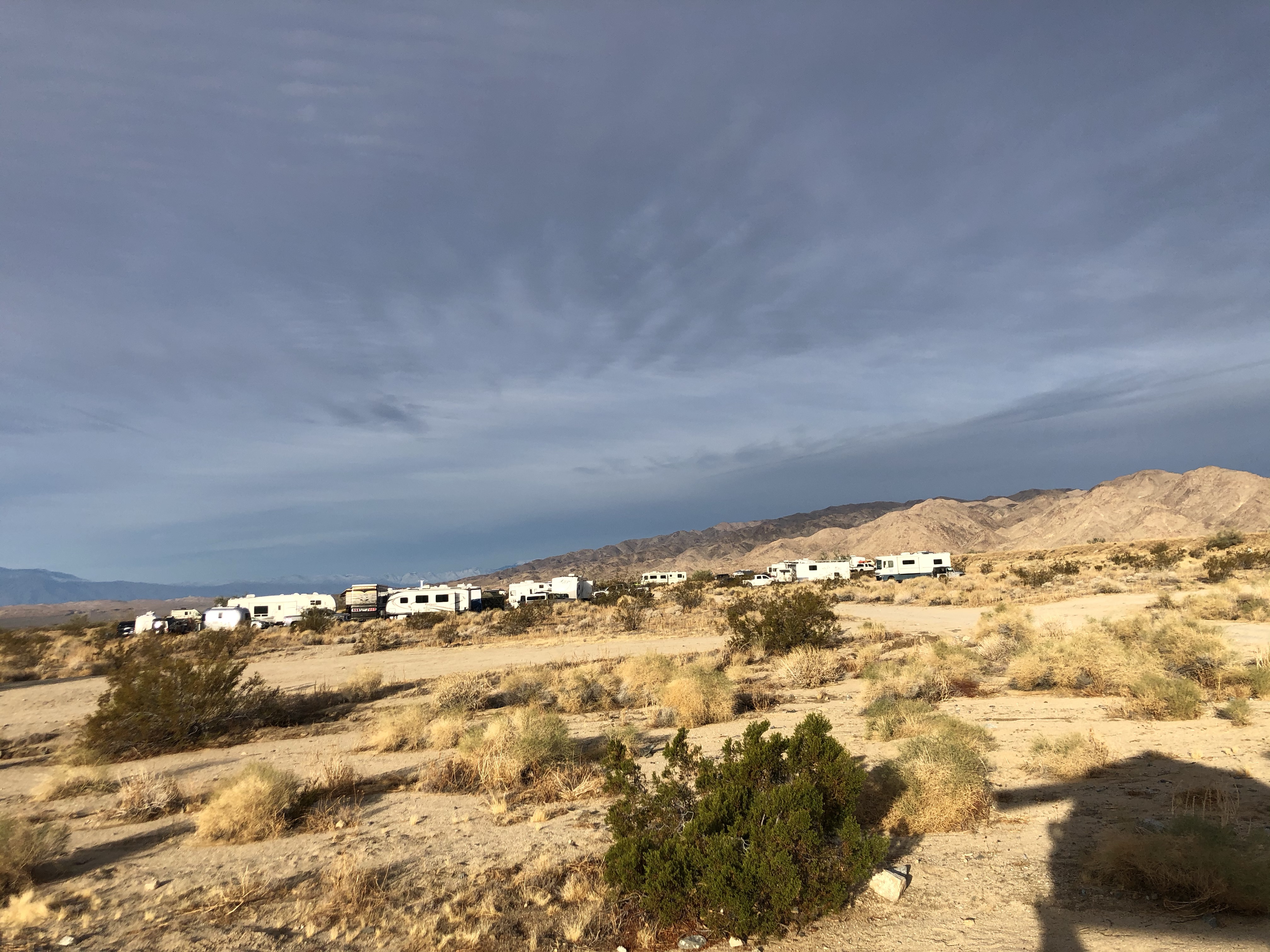
As we continued west through Ohio (Cuyahoga Valley NP, #24), Indiana, and Illinois it seemed like nobody cared anymore. We became the minority when we wore our masks. We didn’t see any social distancing even though stores still had the stickers/lines on the floor. Everyone was just walking around like Covid never happened. We stopped at Indiana Sand Dunes NP (#25) and there were so many people there, no masks, no social distancing. We felt so uncomfortable that we just did one quick hike and left.

We drove through Wisconsin on our way to Voyageurs NP (#26) in Minnesota. I was excited when I started to see people wearing masks again. Then we got to Voyageurs and it was like we went backwards. The park spans across the northern part of Minnesota and encompasses 4 major lakes. The majority of the people at the park were fishing so I guess they’re maintaining proper social distancing…

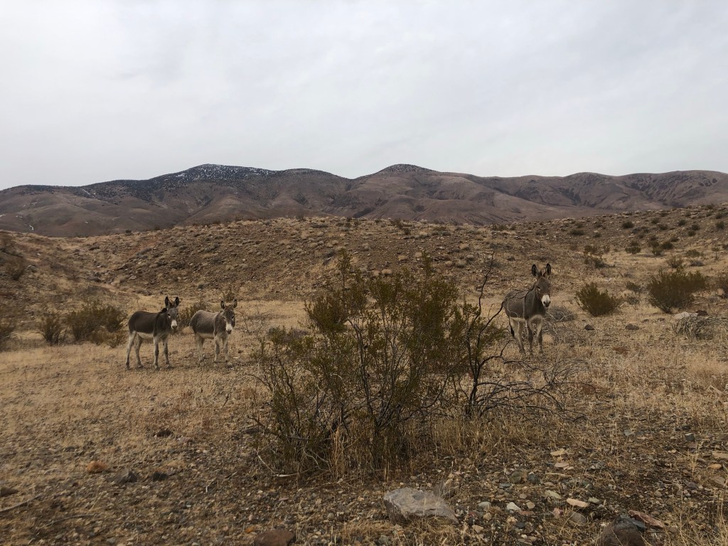
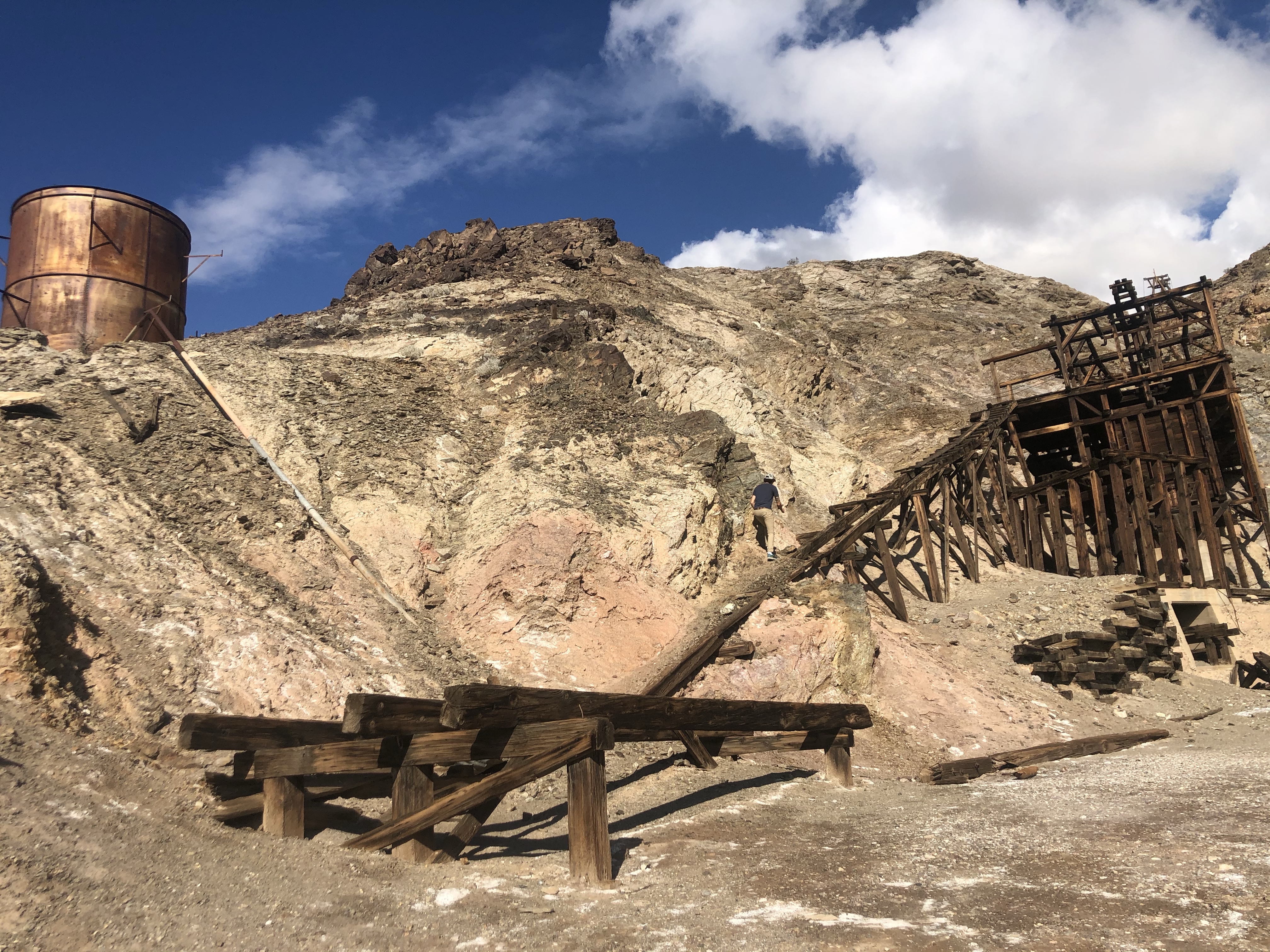
Crossing into North Dakota, we arrived at Theodore Roosevelt NP (#27). The North Unit of the park was amazing. There weren’t a lot of people and every campground we stayed in felt like we had the place to ourselves. The South Unit of the park, the more popular unit, was the opposite. We felt uncomfortable again. So we just did the scenic loop and continued on to South Dakota to Badlands NP (#28). If you decide to visit Theodore Roosevelt NP, we highly suggest just going to the North Unit, you can see the same things with less people.

Badlands was just as bad as the South Unit of Theodore Roosevelt NP, maybe even worse. We wanted to explore the whole park so we stayed at a free campground inside the park. Bad idea. There were so many people camping at the campground it looked like a music festival. #ifitsfreeitsforme said EVERYONE, apparently. We weren’t a fan of the people but we enjoyed sleeping with prairie dogs and waking up with bison. Nature makes things better.

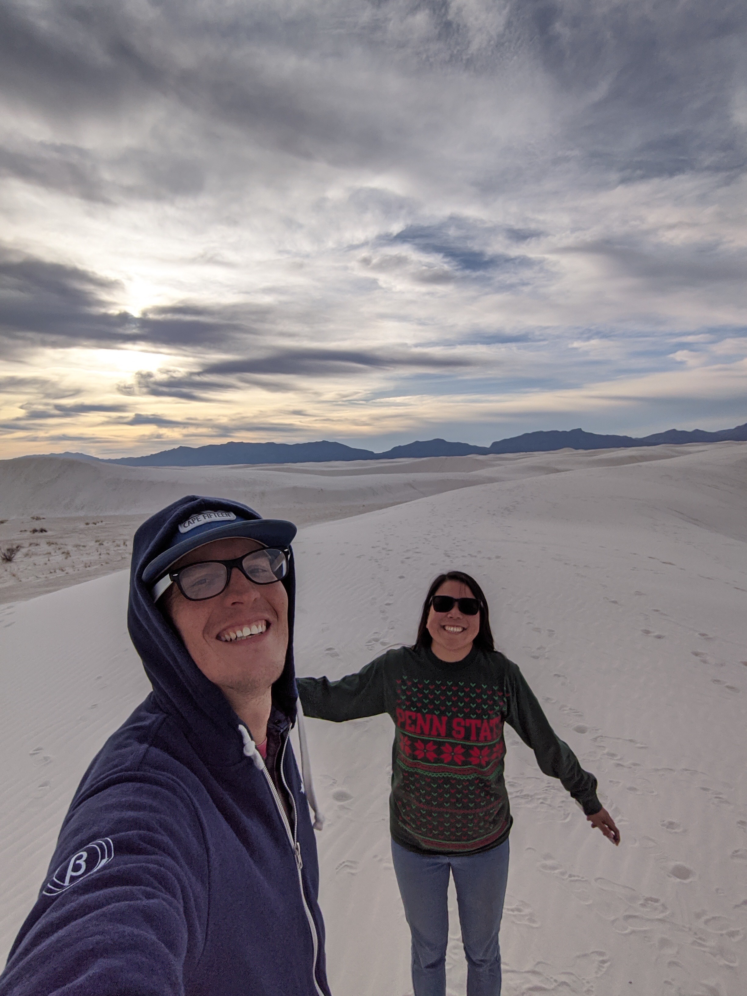
As I’m writing this, it’s been a month since we got back on the road. We just left South Dakota, passing through Wind Cave NP (#29), the cave was closed so there was barely anyone there. We still see a mixed amount of people wearing/not wearing masks depending on where we are. Even with the amount of new cases rising everyday, it seems like people are either oblivious or blatantly ignoring it. We are currently in Wyoming on our way to Grand Teton NP (#30). As we get further west, we know the parks will continue to get more and more crowded. We wish we could tell people to stay home, but then we’d be hypocrites. Enoch and I will continue to wear our masks, wash our hands and social distance to best of our abilities.

Thank you for reading! If you have any questions regarding this post or anything else, feel free to reach out! I will be continuing each National Park’s blog posts, it’s just gonna take some time… Thank you again for stopping by and we hope everyone is staying safe!

Sundance, WY

3 month anniversary

It’s been 3 months since we’ve been on the road and what a ride it’s been! We’ve gone through 12 states and have visited 17 National Parks.

The first park we went to together was Denali National Park in Alaska. That’s where we decided that this trip was going to happen. We started the road trip in California on November 23, 2019 -> Nevada -> Arizona -> New Mexico -> Texas -> Arkansas -> Missouri -> Illinois – > Kentucky -> Tennessee -> North Carolina and are now in South Carolina on February 23, 2020 heading to Florida.

Since we are working with the seasons, we weren’t able to do some of the California National Parks while we were there, so we will have to hit those up when we go back around. The list of National Parks we’ve been to are:

Denali, Yosemite, Pinnacles (forgot to take a picture), Channel Islands, Joshua Tree, Death Valley, Grand Canyon, Petrified Forest, Saguaro, White Sands, Carlsbad Caverns, Guadalupe Mountains, Big Bend, Hot Springs (wasn’t impressed), Gateway Arch, Mammoth Cave, and Great Smoky Mountains.

Denali, Yosemite, Channel Islands
Joshua Tree, Grand Canyon, Death Valley
Petrified Forest, Saguaro, White Sands
Carlsbad Caverns, Big Bend, Guadalupe Mountains
Great Smoky Mountains, Mammoth Cave, Gateway Arch

We’re currently in the process of planning our trip to Florida which will add 3 more national parks to our list. We can’t wait to explore more, thank you for following our journey!

Carlsbad Caverns National Park

We spent 2 half days in Carlsbad Caverns. The first day, we went to the caverns with Nuith and Robert, a couple that we had met at Guadalupe Mountains NP. Even though we have the National Park pass, we had to wait in line to get tickets to enter the caverns. The line wasn’t terrible but I do suggest going early as the line can get long. Each National Park pass holder is allowed to get 4 tickets. The tickets are valid for 3 days so you don’t have to wait in line again if you decide you want to come back within 3 days. We got to the Visitor’s Center early, so we picked up our 4 tickets and gave our 2 extra ones to Nuith and Robert, so they wouldn’t have to wait in line/pay to get in.

There are 2 options to enter the caverns: you can take an elevator down or walk down through the Natural Entrance, 1.25 miles that goes 750 feet deep into the cavern, which takes about 45 minutes to walk. We opted to walk down and then take the elevator back up because let’s be real, going down is easier than going up.

When we got to the opening of the caverns we could already tell it was going to be a cool experience. Looking down from the mouth of the caverns you could see the path winding down halfway but the rest was dark. As we got deeper and deeper, we had to let our eyes adjust so that we would be able to see all of the cool stalagmites and formations.

We were only able to do half of the caverns because I had an interview scheduled that afternoon. We saw all of the formations that were highlighted on the Natural Entrance Trail. We walked all the way to the fork that splits to the Big Room Trail and the elevators. That’s where we had to stop our tour because we had to make it back up to a city with cell signal so I could do my call. We said good bye to our new friends and made plans to meet up that night to hang out.

We took the elevator up to the surface. The elevator ride was pretty fast, our ears were definitely popping on the way up. Once we got to the surface, we made our way to a Taco Bell (our go-to meal) in the nearest city, Carlsbad, NM. After my interview (unfortunately, I didn’t get the job), we had some time to kill before meeting up with our friends so we decided to run some errands. We gave Yogi a bath and went grocery shopping.

We decided to get some drinks at Guadalupe Mountain Brewing Co. before meeting up with our new friends for bowling at Cal’s Cactus Lanes Bowling and Recreation Center. After a couple of games, we went to play pool at the bar next door, Cal’s Shade Western.

We ended the night and decided to drive 1.5hrs to Last Chance Canyon in Queen, NM. The other couple we met at Guadalupe Mountains, Tommy and Artemis, had invited us to a camp spot in that area. Per usual, we drove up to the canyon in the dark and by the time we got up to the top, we were ready to pass out. Unfortunately, we couldn’t find our friends.

We woke up with the wind pounding on the tent. It literally sounded like someone was trying to get inside and was pushing every wall in. The wind was so strong, Enoch had trouble putting the cover back on the tent after folding it up. Here is the view from our tent:

We did not want to stay in the wind any longer, so we quickly packed up and headed down. We stopped to get lunch at Danny’s Place, a bbq joint (another one of our go-to’s) in Carlsbad. The food and prices were pretty good, we would recommend.

We started the day kind of late and were feeling lazy so we just chilled the rest of the day and set up camp earlier than normal at a spot close to Carlsbad Caverns.

The next day we explored Carlsbad Caverns again. When we got to the Visitor’s Center, an alarm started going off. The rangers evacuated the building and had everyone waiting in the parking lot. We found out that someone had triggered the fire alarm and they had to wait until the fire department came to turn off the alarm. The nearest fire department was at least 30 minutes away and apparently they take awhile to get there. I think we had to wait about 1hr before we were allowed to go back into the Visitor’s Center.

A lot of people had left by the time we were allowed back into the building. so once we got inside we rushed to the Natural Entrance and began our descent again. We sped through the whole Natural Entrance trail because we had already seen it the other day. This time we did the Big Room trail all the way through and looped back around to the elevators. There were a lot more large stalagmites in this area and lots of deep holes.

We finished exploring the caverns by 3pm. Big Bend National Park, about 4 hours away, was our next stop. We decided to make that drive and arrive at the park by night time. #obvi It’s what we do. Beautiful sunset along the drive:

Guadalupe Mountains National Park

We stayed about 30 minutes outside of Guadalupe Mountains National Park on a salt flat. We had arrived in the area at night and drove down a gravel road to find this empty space to set up camp. When we woke up, we saw that everything around us was white and flat and realized we had stayed on a salt flat. (pretty cool IMO)

We drove further down the gravel road to the Gypsum Sand Dunes. These dunes are to the west of the park not in the main area so I think not many people really know about them to want to visit. There was only 1 car in the lot when we arrived. We walked into the Sand Dunes, took some pictures and then headed out. It was very similar to White Sands National Park, except a lot less crowded.

On the drive out we encountered some cows on the road. As I learned throughout this trip, cows don’t give a f*ck. They wouldn’t move, even when we revved the engine. We had to wait a bit for them to move along before we could continue down the road. We also saw a lot of cotton on the road. I didn’t realize there were cotton farms in Texas.

We arrived at Guadalupe Mountains on Christmas Eve about 10 minutes before the Visitors Center was about to close so I had to run in, get our parking permit and map to the park, so we could plan out our days.

We knew we wanted to hike up to Guadalupe Peak as it’s the highest natural point in Texas but it had been super windy and we knew once we got to the top it would be even windier. So we opted to hike to Devil’s Hall the next day and then hike to Guadalupe Peak the following day, weather permitting.

We didn’t have a place picked out to camp that night so we spent a couple of hours searching for dirt roads to drive down and seeing if any were good enough to camp on. We found the old highway road adjacent to the new highway and figured that would be good enough for the night. Note: you’re not allowed to camp within the park overnight unless you’re at the developed campsites. We found this road just outside of the park and no one bothered us so I think it was a decent spot. #yolo

We woke up on Christmas Day with the wind howling. We peaked our heads out of the roof of the tent and realized we had a nice view of El Capitan and we were actually pretty visible to the main road (it was pitch black at night so we couldn’t tell). Fortunately because it was a holiday, the roads were pretty empty.

We packed up and headed towards the park to do the Devil’s Hall hike. Surprisingly there was a good amount of people at the park. I didn’t know traveling to national parks was a thing that people did during the holidays.

We parked at the main parking lot which also doubles as the Pine Springs campground. The hike into Devil’s Hall was through an old river bed. There was a bit of rock scrambling and climbing up some natural steps and then we made it to the narrow canyon.

We found another place a bit outside of the park to stay the night. It seemed to be another section of the old highway that went towards the park. We woke up earlier the next day to prep and pack for our hike up to Guadalupe Peak.

We drove back to the main parking lot, filled up our water packs and started our ascent. Both Devil’s Hall and the Guadalupe Peak hike started at the same area. The hike to Guadalupe Peak had a lot of switch backs from the front of the mountain in the sun to the back of the mountain in the shade. We’re glad we picked a milder day for the hike because we definitely felt the wind pick up as we got closer to the peak.

There was a cool wooden bridge close to the Guadalupe Peak campground towards the top of the peak. The incline also increases as you get closer to the top. There was a bit of uneven rock close to the edge and a short climb at the very tip. But once you see the view, it is all worth it. They also have a monument at the top to signify the peak. We spent some time at the top taking pictures for ourselves and others.

We started chatting with a couple from Austin, Nuith and Robert. We had a good conversation with them and decided to hike down the mountain together. They also had plans to go to Carlsbad Caverns NP, so we talked about meeting up and going there together the next day. We got back to the parking lot and exchanged information with our new friends. While we were chatting some more, a couple that was camping at the campground noticed out rooftop tent and decided to come over and chat too, because they also had a rooftop tent. Tommy and Artemis, overlanders also from Austin invited us to a camping trip whenever we were going to be passing through. We made 4 new friends! #win

We desperately needed a shower after that long hike so that was our goal for the night. The campground at Pine Springs doesn’t have showers and all the local campgrounds were at full occupancy or closed so we opted to take a shower at the Pilot truck stop. For $16.50, the shower wasn’t bad. They allowed us to go into the single, private shower room together, they provided towels and there was no time limit. #woulduseagain

We found a spot about 10 minutes away from Carlsbad Caverns, set up camp and ended the night. There’s a four-wheel drive road leading to Williams Ranch that we wanted to do. Guess we’ll just have to come back to Guadalupe Mountains NP!

White Sands National Park

We crossed over the border from Arizona to New Mexico heading towards the newly appointed White Sands National Park. We stayed at Oliver Lee Memorial State Park, about 30 minutes outside of White Sands NP.

New Mexico State Parks are so affordable! We only paid $10 for a campsite that included a covered picnic table, fire ring and use of the amenities (a nice hot shower). We spent the day cleaning up ourselves and the car before heading towards White Sands NP.

When we got to White Sands NP, we took our usual picture in front of the sign and started on the Dunes Drive through the park. It was cool to see the road go from paved to partially sandy and then completely white as we drove deeper into the sand dunes. They offer sleds for purchase at the visitors center for those that want to sled down the sand hills. We opted not to do that as we thought it was a bit gimmicky. There were a lot of people sledding around us though, definitely a thing for families with young children.

We pulled off in a quieter area so we could get out and take pictures on the dunes without anyone around. We got a shot of Yogi, driving on the edge of a sand hill and I got a Boomerang of me throwing sand in the air like it was snow. It was Christmas time so I had to celebrate accordingly.

After White Sands NP, we started making our way to Guadalupe National Park.

Box Canyon and Saguaro National Park

After Devils Bridge, we headed towards Mesa, AZ to visit some of Enoch’s relatives. We stayed with them for about 4 days. During this time we relaxed for a bit, cleaned Yogi and ran some errands that we had been putting off. It was great to meet and hang out with his family too. Once we were well rested we started making our way to Box Canyon before heading to Saguaro NP.

We had some great bbq at Caldwell Country BBQ. If you’re ever in Gilbert, AZ we highly suggest getting some good food there.

Arizona requires an OHV permit to go off-roading so we had to acquire that before going into Box Canyon. We put the address to Box Canyon into Google and we’re on our way. Unfortunately, the entrance to Box Canyon that Google took us to was closed, so we had to do some more research and found another way in.

While driving into the canyon area we saw a bunch RVs camping on the side of the road and some ATVs coming out of the canyon area. We were excited! When we got to the start of the off road area, we aired down the tires (learned from last time) and began the trip.

The road had a bunch of Saguaro cacti and had a couple of obstacles. There were also cows on the sides grazing and staring at us as we drove by. I realized during this trip that cows don’t give a f*ck about people as long as you don’t disturb their grazing.

We were headed towards what we thought was going to be a waterfall. Not the waterfall we were thinking. It turned out the “waterfall” was an obstacle of a wall of rocks that we had to go down. We planned the route, stacked some rocks and Enoch started driving while I guided him. We made it to a point where we had to take off the cargo hitch. Enoch successfully went down the waterfall and Yogi incurred zero damages #success. But we had to carry the cargo hitch down the waterfall and attach it back to Yogi #fail (it’s really heavy..). We didn’t get to see a real waterfall. Bummer.

We continued on the road as we still hadn’t hit Box Canyon yet. While driving, we decided yet again we would take a different road to a different destination. This time we drove to and area called Five Points. It passed some rock crawls and abandoned mines. Pretty cool stuff.

The sun was starting to set and and so we finally decided we should go into Box Canyon proper. We started heading down box canyon road and the walls next to use started getting narrower and narrower. We were in! Enoch has a Pixel 3 phone (#teampixel) that takes amazing night shot photos, so we had a couple of photoshoots with Yogi in the canyon.

We drove all the way through the canyon and then realized that google was taking us back to the closed entrance from earlier in the day. We prayed that there would be an alternate exit as we drove parallel to some railroad tracks. We saw a car coming towards us towards to end of the road and that gave us hope that we would be able to exit on the same road instead of going all the way around. Success! We found the exit and realized this road wasn’t even on Google Maps (either the road is brand new or Google Maps needs to update their app).

We drove out into town, aired up the tires at a gas station, ate some Taco Bell (a majority of our food consumption happens here) and decided to drive through the night towards Saguaro National Park and stay out there. We found Agua Blanca Ranch (BLM land) outside of the national park and fun fact: right next to the CIA airport. We stayed there for a couple of nights before heading into the park.

Saguaro National Park is made up of the West Side-Tucson Mountain District and the East Side-Rincon Mountain District. We entered through the West Side and drove the Bajada Scenic Loop to hike Wasson Peak (the highest peak on the West Side of Saguaro NP).

After descending from Wasson Peak, we finished up the Bajada Scenic Loop and drove to Old Tucson Studios, where they used to film American western movies.

We drove back to Signal Hill to look at some petroglyphs and watch the sunset.

We stayed in Reddington Pass that night which we found out is a popular road for off roading. We decided not to do the pass as we wanted to finish up the East Side of Saguaro NP the next day. When we entered the East Side of the park, we noticed there were a lot more people on the West Side as that’s where all the Saguaro cacti are. The East Side is more for mountain biking and backcountry hikes. We were pretty tired after hiking Wasson Peak the day before so we opted to just drive the Cactus Forest Loop and take in the views from there.

We were headed to the state of New Mexico next and during this time, White Sands National Monument became a National Park, so we had to stop by!

Petrified Forest National Park and Devil’s Bridge

After leaving Grand Canyon NP, I needed a sense of reality and really didn’t want to sleep in the freezing cold again. So we stayed one night at a hotel. I was able to get the room for $3 with some points, so it was within our budget. #win

We were able to charge all of our electronics, have a nice shower, do laundry and sleep in a real bed. After feeling refreshed, we started making our way to our next stop, Petrified Forest NP. We wanted to see the Meteor Crater Natural Landmark along the way, but when we got there, we found out there is an admission of $18pp. We didn’t have the budget for that so we decided against it. There was no way of even getting a glimpse of the crater as they had the whole area fenced off. We found a dirt road on the backside of the crater to try to take a little peek, but lo and behold, when we got to the end of the road, there was a fence.

We gave up and continued on our way to Petrified Forest. We decided to stay close by the park so we can have a full day of exploring the next day. We found a campsite by the Little Colorado River to stay at for the night. We reorganized our stuff, watched the sunset and made dinner. This was the night I learned how to make a fire!

The next day we headed into Petrified Forest NP. We weren’t sure how long it would take for us to explore the whole park as the park is only open between 8am-5pm But after looking at the map (the park isn’t very big), we decided we could complete it in one day. We entered on the south side of the park and explored the Rainbow Forest Museum and Visitor Center first. Then we walked the Giant Logs trail behind the building. There is so much history in this park, it’s amazing to see that they still live on today.

After eating some sandwiches for lunch, we did the Long Logs trail to the Agate House. The Agate House is a partially reconstructed Puebloan house that was made entirely out of petrified wood. There is one main road that goes through the whole park and connects to all of the sights and trails. A majority of the sights are a quick stop, take a picture and move on. We headed towards Crystal Forest next, named for the quartz that can be found in the petrified wood, which gives them a crystalized look.

Next up was Agate Bridge, a 110 foot long petrified log perched on top rocks forming a bridge. We took our picture and moved on.

We drove through the Blue Mesa Drive, a small scenic loop into the Blue Forest. Here, we could see all the petrified logs laying over the badlands.

We drove pass the Tepees and stopped at Newspaper Rock, a rock with petroglyphs on it. This was a bit disappointing as we had to look through binoculars to see the pictures on rocks. The viewing platform was also above the rocks, so we weren’t able to even get close to them for a picture.

We walked around Puerco Pueblo and we’re glad we did. We were able to see the ruins of a large Pueblo from 1300 AD. There were also a few petroglyph rocks that were much closer and visible from the path.

We stopped at the Route 66 site, where the historic Route 66 used to cross right in between the park. They had an old car standing at the exact spot where the road intersected the park.

The next 6 points on the map were all stop and go view points which we went through very quickly as the park was closing soon and we were cutting it close. When we got to the Painted Desert Inn, it was already closed.

But we did it! We completed the whole park in one day and started back on the road towards Sedona. On the way to Sedona, we stopped in Winslow, AZ. An old coworker told me that I needed to take a picture standing on a corner in this town. So we stopped at the corner, took a picture, so I could send proof of my visit. The sunset that night was one of a kind!

We camped outside of Sedona that night and woke up to the beautiful red rock scenery. There are so many hike options in Sedona, we decided to hike to Devil’s Bridge. I had done the hike before and knew there was a stretch of the hike that is accessible by 4×4 vehicles, making the actual hike a lot shorter. When we arrived to the parking lot, it was packed! Good thing we weren’t parking there. We drove past the sign advising us that the road ahead is for 4×4 high clearance vehicles only. There were a lot of people walking towards the trail as we were driving past them. We we got to the trailhead we realized we shaved off 1.5 miles from this 2.1 mile hike. #win

We climbed the last 0.6 miles to get to the bridge. This hike is apparently very popular as we saw loads of people in the parking lot, during our drive to the trailhead and at the bridge. It’s a cool view but I would suggest coming during off hours for less people and better pictures.

After finishing the hike, we started towards Mesa, AZ as Enoch has family there that he hadn’t seen in a long time. We broke up the drive by staying at the Four Peaks Wilderness Area just outside of Mesa. We had an amazing sunset that day too and finally saw some Saguaro cacti! This was exciting to us as Saguaro National Park is next on our list.

Heading to Grand Canyon NP

Our next park after Death Valley NP, will be Grand Canyon NP. We drove through Nevada to get to Arizona.

Along the way we stopped at Area 51 for a meal with aliens.

Stopped at Seven Magic Mountains, an art sculpture located about 30 minutes outside of Las Vegas. We got to get an up close and personal view of this art exhibit because Google Maps took us through a back way that didn’t even lead to the parking lot. I think we got a prime spot for pictures.

Both of us had been to Las Vegas before but neither of us had taken pictures in front of the infamous sign. Since we were nearby, we stopped by the Welcome to Las Vegas Sign. When we got closer to the strip, the amount of traffic started to buildup. A sign that we were in a major city again. When we got to the sign there was a line of people waiting to take a picture in front of the sign. We didn’t want to wait so here’s the result:

I have never been to the Hoover Dam, so our last stop in Nevada was there, as it leads into Arizona.

After the Hoover Dam, we stayed at Kingman Wash in Lake Mead National Recreation Area. We did a bit of cleaning and chilled out for a couple of days. I learned how to make Crunchwrap Supremes during this time.

Feeling refreshed, we headed towards Grand Canyon NP.

We stopped by the West Side of the Park first as we both wanted to walk across the Skywalk. We should’ve done our research beforehand. When we got there, we found out there’s a fee to go on the Skywalk. The only way to pay the fee was to get a package that cost $91 per person. We did not budget this into our trip so we had to pass.

We went to the South Rim to do our hike as the North Rim is closed from December to March. We both had been to the Grand Canyon before but I had never hiked down into it so we decided to do the South Kaibab Trail to Skeleton Point. It was cold and there was still some snow on the ground. I wasn’t feeling it but tried to do the hike anyway. We started our descent down and my body was already rejecting the whole experience. We made it to the Ooh Aah Point and Cedar Ridge. We ate our lunch and continued down to Skeleton Point. There were a few mule tours headed back up to the top and I wished I was a part of those groups. We got close to Skeleton Point when I couldn’t take it anymore. I had to go back up, the hike was too intense and my body was basically saying NO. When we got back to the top, I reaffirmed my initial statement regarding the park from when I first visited. “Same big hole, different angle/elevation.” Others may disagree, this is just my opinion. 🤭

We left Grand Canyon NP and started towards Petrified Forest NP.

1 month anniversary!

It’s officially been 1 month since I started living on the road. I decided I should write about my experience, before and after I entered this lifestyle. Here we go:

1) Minimizing my life

Before: This was one of the hardest things for me. I knew I had a lot of stuff but I never realized how much of this stuff I really didn’t need. I had to downsize from living in a studio to living out of 2 plastic totes and a couple of bags. I wasn’t sure I was going to be able to do it.

Now: I started the trip with 2 plastic totes filled with clothes and “necessities”, a backpack with more necessities and my scuba gear. I now have 1 plastic tote of clothes, a backpack with my necessities and a duffle bag with my scuba gear. And I’m slowly getting rid of more things as we move along.

2) Camping every night

Before: I had never camped before this year. I had never camped consistently for more than 1 night before I started the trip. Whenever I traveled, I always stayed at friend’s/family’s places or hotels/hostels. If I was cold, I could always go back to wherever I was staying to be warm.

Now: In the one month since we started the trip, we’ve stayed one night at a friends place in LA, one night at a hotel in Flagstaff (it was really cold that night, I really wanted to be somewhere warm, I only paid $3 because I had points #win) and 3 nights with Enoch’s family in Mesa, AZ. The rest of the nights were in the rooftop tent. If I’m cold I have to bundle up and go straight into the sleeping bag (the only warm place we have besides the car during our drives). This goes along with sleeping and waking up to different types of weather. We’ve experienced high winds, rain, snow and below freezing temperatures. I’m actually surprised at how well the tent has held up in all of these conditions. Condensation buildup inside the tent at below freezing temperatures is the only negative. Other than that our sleeping conditions are pretty good.

3) Access to bathrooms

Before: I always had access to a bathroom/shower at home, a hotel/hostel or friends/families. Because I was always in a building with facilities, I never had to worry about holding anything in or if the facilities are clean. I could take a hot shower anytime I wanted.

Now: In an effort to save money, we look for free camping wherever we decide to spend the night. Most of these camp sites are in remote areas. If I need to use the bathroom, usually before I go to sleep or when I wake up, I have to bundle up, climb out of the tent and pop a squat. Things get a bit more TMI during my time of the month (#femaleproblems). I’ve gotten used to either holding everything in until we can drive to an actual bathroom or just going wherever we are or in a pit toilet (no running water/no flushing but still better than just popping a squat).

Showers are a rare thing now. We’ve stayed in some RV sites/camp grounds to use their shower facilities (my first time doing both). If you require a shower everyday, this is not the lifestyle for you. We shower about every 3 days on the road. We generally don’t have an odor unless we’ve done some hikes prior. It’s not a pretty lifestyle but so far I’ve been handling it well.

4) Cleaning/ I can’t be lazy

Before: If anyone knows me, they know that I like to be lazy and I don’t like to clean. I never made my bed, my clothes were usually scattered all over my couch/bed and after cooking I usually left the dishes in the sink or used a dishwasher to clean them.

Now: Because our tent is on the roof of the car. We have to set up the tent every night and pack up the tent every morning. No longer can I just collapse into bed at the end of a long day or leave my bed unmade in the morning. Every night when we get to the campsite, I help Enoch unpack the tent to the best of my abilities (the tent is on the roof of the car, I’m short, enough said). I grab everything we would need at night because once you settle into the sleeping bag, you do not want to have to climb back out to the car “because you forgot something” as it gets pretty chilly at night. And it’s usually pitch black outside and you can’t see anything without a headlamp ( I purchased one on this trip and it’s one of my best purchases thus far).

Every morning, we wake up, I usually have to pee so I bundle up, climb out of the tent, do my business and go back into the tent to start packing up the sleeping bag and blankets so Enoch can close up the tent.

Whenever we make any food, we have to clean our dishes right after we finish eating so that we can put everything away and go to sleep. Can’t leave any remnants of food out as we don’t know what kind of animals may be around. So now, I really have no way of being lazy and I’ve become pretty efficient with the tent and our kitchen area. #liveandlearn

5) Learning how to make/cook on a fire

Before: I’ve never had to make a fire since I had never camped before. I’ve hung around fire pits but was never the one to start the fire. Generally most of the fires I’ve cooked on were started with charcoal and lighter fluid.

Now: I’ve learned how to build a fire ring with large rocks I find lying around. I’ve learned how to gather different types of wood/sticks to burn. I’ve also learned that after the wood finishes burning is the best time to start cooking on top of the glowing embers. You can call me a woman of nature now.

What do I cook? A lot of ramen which is a norm for me and I’ve also been dabbling with some Taco Bell items. Made some delicious vegetarian Crunchwrap Supremes. #tacobellsponsorme

6) Time to myself

Before: I lived in a studio by myself. If I didn’t feel like being social I just stayed home. I always had my own space to go and relax and do whatever I wanted.

Now: Enoch and I live out of a Nissan Xterra with a roof top tent. We spend 24/7 together. There’s nowhere for me to go if I want to really be by myself. The closest thing we have to separate rooms is: when we have the tent set up, that is the upstairs area and the car is the downstairs area. We can be in separate areas to chill but at the end of the day we both fall asleep together, wake up together and travel in a car together. So far we haven’t gotten sick of each other yet, it’s only been one month so we’ll see. JK? Lol

7) Beautiful sunsets

Before: I’ve always loved seeing sunsets. Anytime I had the chance to photograph one I would try to capture it. Because I regularly worked a day job, I rarely got to sit outside and watch a sunset from start to finish. I would see glimpses of a sunset on my commute home and by the time I got home, I just wanted to lay in bed or it was already dark.

Now: I’ve seen every sunset every day since we started the trip. It’s beautiful how the sky changes colors and depending on where we are, the backdrops to the sunsets add more to its beauty. I get excited to the see the sunset everyday as it’s always different and once the sun sets, I can start stargazing (something I was never able to do in the city). I really get to experience nature’s beauty from start to finish everyday.

8) Learning to overland

Before: I had no idea what the word overland meant. I didn’t even know it was a word. I didn’t know roof top tents existed. I knew about #vanlife and thought that was the only way you could live on the road, in a converted van.

Now: I’ve learned that Overlanding is a lifestyle all about the journey to a destination and not just the destination itself. We’re Overlanding all of the national parks meaning we’re taking all of the roads less traveled to see as much of each park as we can. We camp on BLM land and in National Forests because they are primitive campsites that provide us with an undisturbed connection to nature.

9) Meeting like minded people

Before: When I first mentioned this trip to friends/family everyone was very supportive. Everyone spoke about how they wish they had the courage to do a trip like this. But at the end of the day there is always something that prevents us from taking the risky leap or we say “one day”. I decided to change this thought process for myself. “If not now, then when?” is the motto I started living after moving from New York to California. Enoch gave me the chance to live out my “one day” dream.

Now: It’s been one month since we embarked on the trip. We’ve met a few people along the way that are living a similar lifestyle. Each person had a different mode of transportation (a converted van, bus and trailer), but every one of them were living their life on the road and loving it. We’ve also interacted with other overlanders and Xterra owners on Instagram. We share our trips, ideas, rigs and support for one another. It’s amazing to find such a large community for this lifestyle that I had just recently learned about. I’m so happy I decided to take this trip and am excited for the next few months.

10) Endless adventures

Before: Any time I traveled or took a trip, it was planned. I picked a location, the dates of travel, my accommodations, excursions etc. All of the trips had a beginning and an end.

Now: Since starting this trip, we’ve only preplanned 2 days because we had to book a boat ride to the Channel Islands and attend a Friendsgiving. Other than those days, we’ve been living each day as it comes. Without an end date, we don’t have to pack multiple activities into a select number of days. We can casually chose what we want to do and just do it. If we don’t have time to do something we can just do it the next day. There’s no rush to complete things which allows us to just live life.

We’ve visited 8 National Parks so far: Yosemite, Pinnacles, Channel Islands, Joshua Tree, Death Valley, Grand Canyon, Petrified Forest, and Saguaro (my blog posts are delayed :x). We’ve also explored hikes and gone off roading across 3 different states so far: California, Nevada, Arizona. Who knows when I would’ve been able to visit all of these places had I not started this trip, and it’s only been 1 month!

To conclude this post, it’s been a hell of a ride, a huge life change and learning process but there are no regrets. I will continue to post about our journey, ie. try to catch up with our current location. Until then, Merry Christmas, Happy Holidays and thanks for reading!

Death Valley National Park PT. 2

Let’s see, where did we leave off? We’re on our way to Ballarat to explore an old mining ghost town outside of the park. We estimated about 2 hours to get to Ballarat by sun down and then we’d make our way back into the park to camp. We continue to drive along Coyote Canyon road (high clearance 4×4 vehicle recommended) taking in the views and see A LOT of donkeys along the way. According to the park guide, donkeys are considered invasive species within in the park. Not sure how they ended up in Death Valley in the first place but they were EVERYWHERE.

We broke up the drive by stopping at Geologist’s Cabin along the way. The road was still manageable, a little rocky at some points but nothing that really needed 4 wheel drive. The sun was starting to set as we got there. There were 2 guys already set up to camp at the cabin that night. We mentioned that we were planning to go through Mengel Pass that night and one of the guys gave us a shocked look saying “You’re doing the pass tonight?” We answered “Yes” casually not thinking anything of his reaction. We took some pictures of the sunset, said our goodbyes and continued on our way.

Here’s where things got a bit more interesting and we should’ve heeded the guys reaction. The road went from dirt and little rocks to large boulders that did require 4 wheel drive. When we got to Mengel Pass we realized that we maybe should’ve picked a spot to camp for the night. But there was no turning back now, literally there was no space to turn around. I helped guide Enoch through some spots that had huge boulders on both sides. He chose what he felt like would be the best path through the boulders. I jumped back into the car and we hoped for the best.

That’s when the boulders got the best of us. We went over the boulders, knocked into the sides and ended up at a clearing on top of a hill after that one section. We got out of the car to access the damage. The boulders had knocked the side steps loose. They were still hanging onto the car with no other physical damage (phew). We also realized the bouncing had sent our gas can flying off our cargo carrier. So Enoch had to go back down into the boulders to find it.

The sun had just about set at this point. I noticed there was a pile of stacked rocks on top of this hill which I later learned is the grave of Carl Mengel, which the pass is named after. He was a miner that lost his leg, and continued to mine. Little did we know we would have a similar story at the end of the day.

After retrieving the gas can, making sure there were no other issues, we continued on our way hoping that was the worst we would have to go through. Boy we’re we wrong. We encountered the next obstacle a few miles away. Similar situation, large boulders to both sides of the car but this time it was already dark so things were a bit more difficult to see. We again picked our route and hoped for the best. We went over one boulder but then got stuck into between. We essentially had to rock back and forth into the boulders to free ourselves. Thus our second casualty of the day: our side steps had been knocked off. But had the side steps not been where they were, we would’ve had worse physical damage on Yogi. And now we have an excuse to get rock sliders.

We survived Mengel Pass! The rest of the way to Ballarat was easy considering what we had just gone through. When we arrived to the ghost town we were greeted by a guy that frequents the area often. When we mentioned that we had just gone through Mengel Pass to arrive at Ballarat, his first question was “did you air down your tires?” We had not because we were not expecting to do intense off-roading. He was shocked that we successfully went through the pass at night with full tires and sustained minor damages. He told us that we should tell everyone this story as it’s a major accomplishment. We were feeling pretty good about ourselves after that interaction. It was already late, so we said our goodbyes and headed back into the park to conclude our day.

The next morning we slept in as we were tired from yesterday’s “excitement.” I looked at the map to find some easy activities to do and noticed in red letters next to Mengel Pass: “Road conditions require experienced four-wheel drivers.” I guess we overlooked that yesterday when we decided to do that drive. But this also confirms that Enoch is indeed an experienced four-wheel driver.

We decided to do an easy hike to Darwin Falls, check out the Charcoal Kilns, and the Mesquite Flat Sand Dunes.

We stayed in one of the free campsites within the park that night. And for our last day in the park, we visited the Ubehebe Crater and Keane Wonder Mill and Mine.

Death Valley has been our most our most eventful park so far. We spent 4 days with zero cell service fully immersed in our natural surroundings. Our next few stops will be points of interest along our way to Grand Canyon National Park.

Design a site like this with WordPress.com
Get started